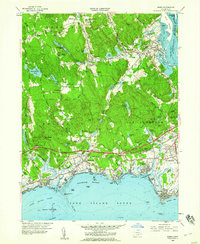
1958 Map of Essex
USGS Topo · Published 1960About this map
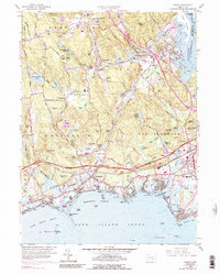
Essex and Old Saybrook anchor this coastal landscape where the Connecticut River meets Long Island Sound. The 1958 revision captures a period of significant infrastructure development, most notably the expansion of the Connecticut Turnpike cutting across the terrain north of the historic Boston Post Road. Local industry and community centers are well-defined, from the mills and ponds of Ivoryton and Centerbrook to the established neighborhoods of Saybrook Manor and Knollwood.
Find a feature on this map
90 named features on this map. Tap any name to fly to it.
Don’t see what you’re looking for? This feature index may not catch every label — zoom into the map to look around manually.
Map Details
Editions of this 1958 Essex Map
5 editions found
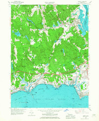
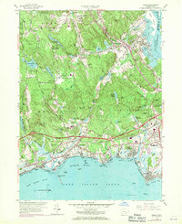
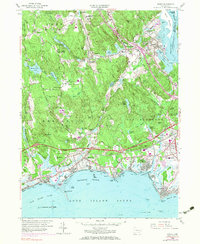
Other maps of this area

1893 · Guilford
USGS Topo · 1:62,500

1893 · Saybrook
USGS Topo · 1:62,500

1941 · Lyme
USGS Topo · 1:31,680

1944 · Essex
USGS Topo · 1:31,680

1944 · Deep River
USGS Topo · 1:31,680
1947 · Orient
USGS Topo · 1:24,000

1947 · Hartford
USGS Topo · 1:250,000

1948 · Hartford
USGS Topo · 1:250,000
1951 · Lyme
USGS Topo · 1:31,680

1951 · Clinton
USGS Topo · 1:31,680