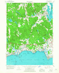
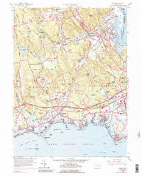
1958 Map of Essex
USGS Topo · Published 1968About this map
The Connecticut River meets the Long Island Sound in this late 1950s survey of the Middlesex County shoreline, where maritime tradition and post-war infrastructure intersect. The landscape is defined by the sharp contrast between the wooded highlands of Cockaponset State Forest and the developed coastal corridor. Modern transportation developments like the Connecticut Turnpike and Interstate 95 cut through the region, bypassing older village centers such as Ivoryton, Centerbrook, and Essex.
Find a feature on this map
89 named features on this map. Tap any name to fly to it.
Don’t see what you’re looking for? This feature index may not catch every label — zoom into the map to look around manually.
Map Details
Editions of this 1958 Essex Map
5 editions found
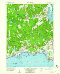
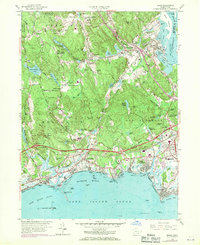
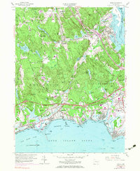
Other maps of this area

1893 · Guilford
USGS Topo · 1:62,500

1893 · Saybrook
USGS Topo · 1:62,500

1941 · Lyme
USGS Topo · 1:31,680

1944 · Essex
USGS Topo · 1:31,680

1944 · Deep River
USGS Topo · 1:31,680
1947 · Orient
USGS Topo · 1:24,000

1947 · Hartford
USGS Topo · 1:250,000

1948 · Hartford
USGS Topo · 1:250,000
1951 · Lyme
USGS Topo · 1:31,680

1951 · Clinton
USGS Topo · 1:31,680