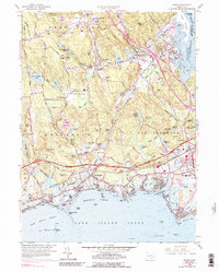
1958 Map of Essex
USGS Topo · Published 1989About this map
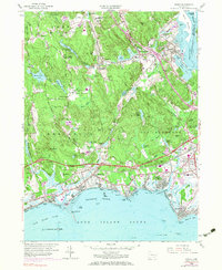
Essex and the lower Connecticut River shoreline are captured here at a moment of significant infrastructure expansion, evidenced by the purple-line updates for the Connecticut Toll Road and its numerous interchanges. The map shows a transition from the historic riverfront commerce of North Cove and Middle Cove toward modern highway-linked development. Inland, the industrial legacy of the region persists in place names like Ivoryton, once a global center for ivory processing, and Centerbrook.
Find a feature on this map
106 named features on this map. Tap any name to fly to it.
Don’t see what you’re looking for? This feature index may not catch every label — zoom into the map to look around manually.
Map Details
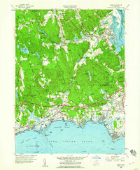
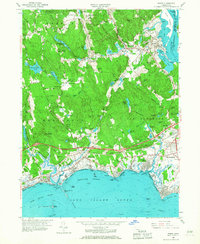
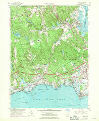
Editions of this 1958 Essex Map
5 editions found
Other maps of this area

1893 · Guilford
USGS Topo · 1:62,500

1893 · Saybrook
USGS Topo · 1:62,500

1941 · Lyme
USGS Topo · 1:31,680

1944 · Essex
USGS Topo · 1:31,680

1944 · Deep River
USGS Topo · 1:31,680
1947 · Orient
USGS Topo · 1:24,000

1947 · Hartford
USGS Topo · 1:250,000

1948 · Hartford
USGS Topo · 1:250,000
1951 · Lyme
USGS Topo · 1:31,680

1951 · Clinton
USGS Topo · 1:31,680