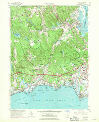
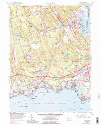
1958 Map of Essex
USGS Topo · Published 1971About this map
Essex and the lower reaches of the Connecticut River define this coastal landscape as it transitioned into the early 1970s. The map captures the significant transportation corridors of the era, including the Penn Central railroad and the Connecticut Toll Road, which bisects the region. Residential and commercial growth is evident around Old Saybrook and Westbrook, while inland settlements like Ivoryton and Centerbrook retain their village character near the Falls River Pond.
Find a feature on this map
99 named features on this map. Tap any name to fly to it.
Don’t see what you’re looking for? This feature index may not catch every label — zoom into the map to look around manually.
Map Details
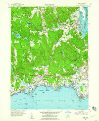
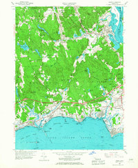
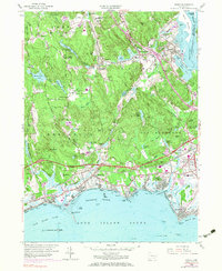
Editions of this 1958 Essex Map
5 editions found
Other maps of this area

1893 · Guilford
USGS Topo · 1:62,500

1893 · Saybrook
USGS Topo · 1:62,500

1941 · Lyme
USGS Topo · 1:31,680

1944 · Essex
USGS Topo · 1:31,680

1944 · Deep River
USGS Topo · 1:31,680
1947 · Orient
USGS Topo · 1:24,000

1947 · Hartford
USGS Topo · 1:250,000

1948 · Hartford
USGS Topo · 1:250,000
1951 · Lyme
USGS Topo · 1:31,680

1951 · Clinton
USGS Topo · 1:31,680