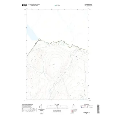
2021 Map of Estcourt
USGS Topo · Published 2021About this map
Estcourt sits at the northernmost point of Maine, where the international boundary between the United States and Canada is defined by the winding course of the Saint Francis River. This 2021 survey illustrates the unique geographic position of the settlement, which is deeply integrated with its neighbor across the border. The landscape is dominated by dense woodlands and a network of drainage systems including Wildcat Brook, Chisholm Brook, and Dead Brook, all flowing toward the river valley. Transportation in this secluded corner of Aroostook County is anchored by Estcourt Rd, which traces the contours of the high ground above the river. The map provides a clear view of the topographical relief and the intricate wetlands that characterize this remote border crossing, where the forest meets the international line in a largely undeveloped stretch of the North Maine Woods.
Find a feature on this map
7 named features on this map. Tap any name to fly to it.
Don’t see what you’re looking for? This feature index may not catch every label — zoom into the map to look around manually.
Map Details
Editions of this 2021 Estcourt Map
This is the sole edition of this map. No revisions or reprints were ever made.
Other maps of this area

1955 · Rocky Brook
USGS Topo · 1:62,500

1955 · Beau Lake
USGS Topo · 1:62,500

1962 · Edmundston
USGS Topo · 1:250,000
1986 · Landry
USGS Topo · 1:24,000

1987 · Beau Lake
USGS Topo · 1:24,000

1987 · Hafey Pond
USGS Topo · 1:24,000
1987 · Saint-Eleuthere
USGS Topo · 1:24,000
1987 · Estcourt
USGS Topo · 1:24,000
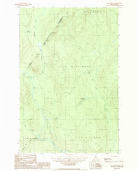
1987 · Rocky Brook
USGS Topo · 1:24,000
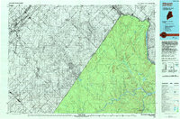
1993 · Allagash
USGS Topo · 1:100,000