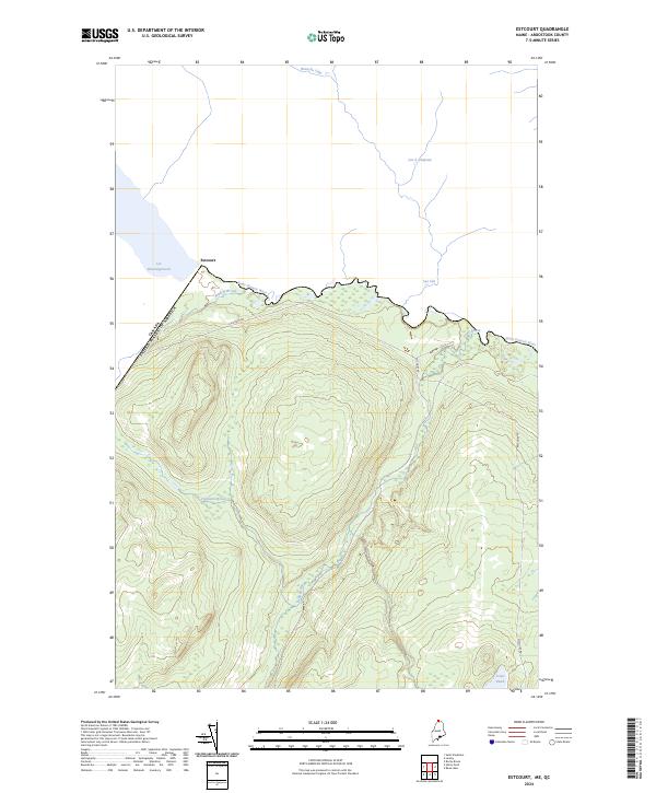
2024 Map of Estcourt
USGS Topo · Published 2024About this map
Estcourt sits directly on the international border where Maine meets Quebec, serving as a unique cross-border settlement defined by the Saint Francis River. This remote northern geography is dominated by complex hydrography and forest management routes like Estcourt Rd. The landscape features several significant water bodies, including the northern tip of Lac Pohénégamook and the smaller Jones Pond to the southeast. Multiple drainage systems such as Wildcat Brook, Chisholm Brook, and Dead Brook carve through the heavily contoured terrain south of the boundary line. To the north, Canadian waters including Lac à Drapeau, Lac Léo, and Branche Côté illustrate the shared natural environment of this frontier region. The proximity of the border and the layout of local roads suggest a community deeply tied to the timber industry and international transit.
Find a feature on this map
12 named features on this map. Tap any name to fly to it.
Don’t see what you’re looking for? This feature index may not catch every label — zoom into the map to look around manually.
Map Details
Editions of this 2024 Estcourt Map
This is the sole edition of this map. No revisions or reprints were ever made.
Other maps of this area

1955 · Rocky Brook
USGS Topo · 1:62,500

1955 · Beau Lake
USGS Topo · 1:62,500

1962 · Edmundston
USGS Topo · 1:250,000
1986 · Landry
USGS Topo · 1:24,000

1987 · Beau Lake
USGS Topo · 1:24,000

1987 · Hafey Pond
USGS Topo · 1:24,000
1987 · Saint-Eleuthere
USGS Topo · 1:24,000
1987 · Estcourt
USGS Topo · 1:24,000
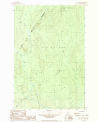
1987 · Rocky Brook
USGS Topo · 1:24,000
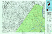
1993 · Allagash
USGS Topo · 1:100,000