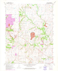
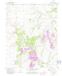
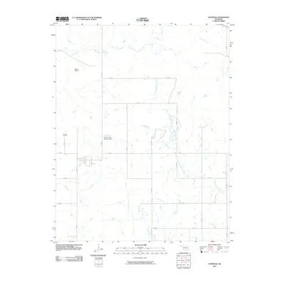
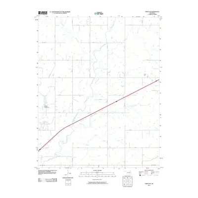
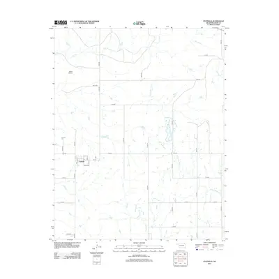
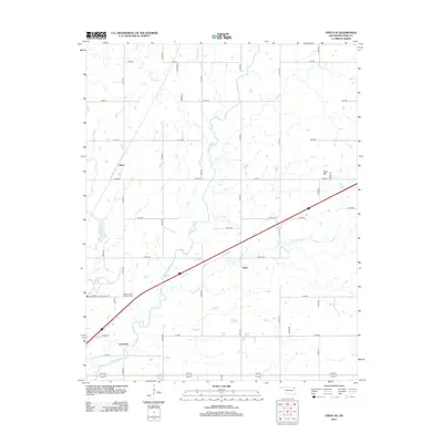
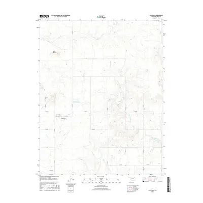
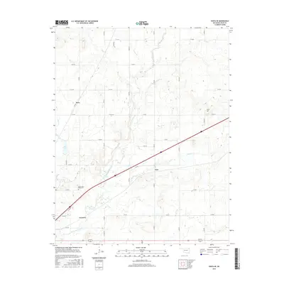
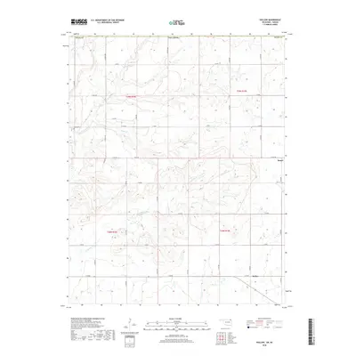
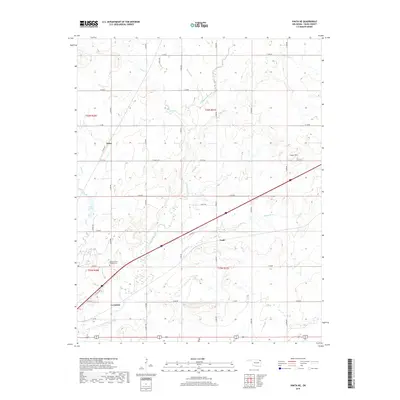
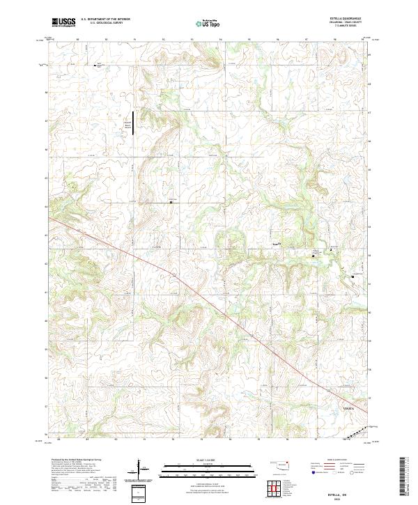
1972 Map of Estella
USGS Topo · Published 1982About this map
Estella serves as a central landmark in this 1970s landscape, which illustrates the heavy impact of resource extraction and subsequent land management. Several large purple-tinted areas labeled Reclaimed Area highlight where former strip mining operations have been mitigated, situated near drainage basins like Lightning Cr and Madden Cr. This region of Craig County is particularly notable for its scattered family and community burial grounds, such as Nix Cem, Scott Cem, and Longtail Cem, providing critical geographic data for local genealogists.
Find a feature on this map
24 named features on this map. Tap any name to fly to it.
Don’t see what you’re looking for? This feature index may not catch every label — zoom into the map to look around manually.
Map Details
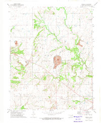
Editions of this 1972 Estella Map
2 editions found
Historical Maps of Vinita Through Time
48 maps found
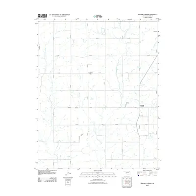
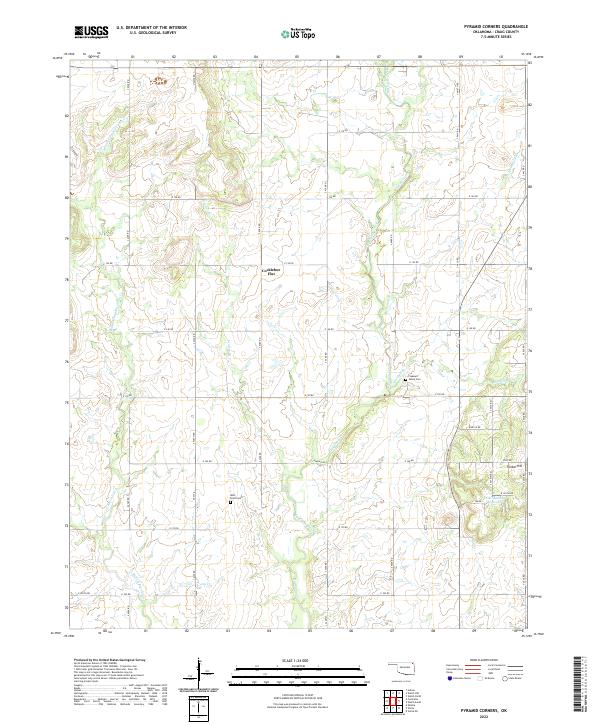
1971 Pyramid Corners
Craig County, OK

1971 Vinita NE
Craig County, OK
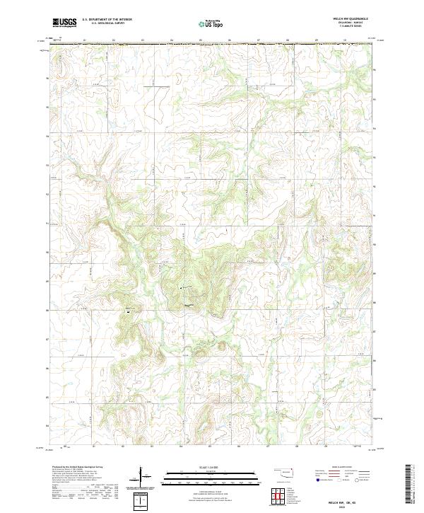
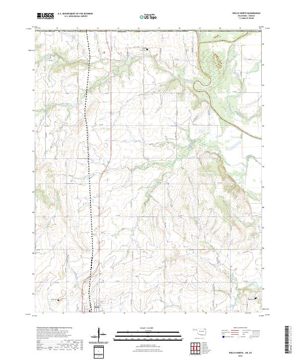
1971 Welch North
Craig County, OK
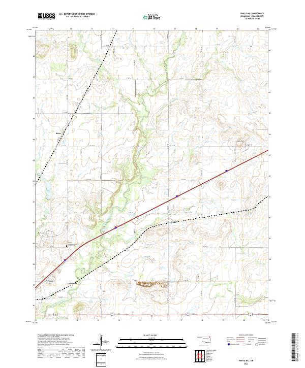
1971 Welch NW
Craig County, OK
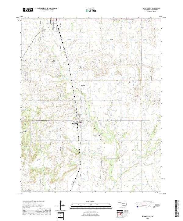
1971 Welch South
Craig County, OK
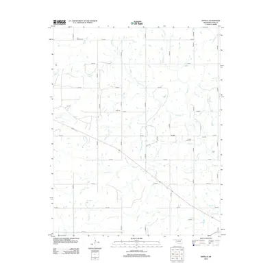
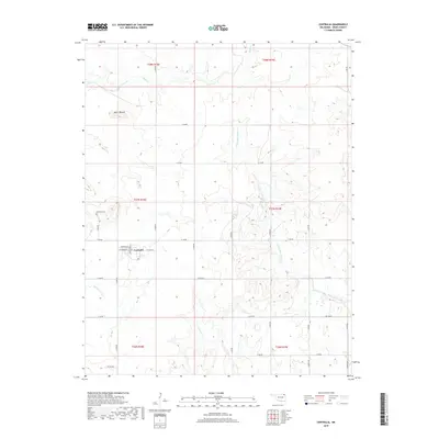
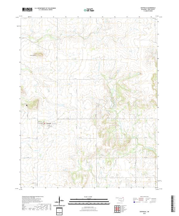
1972 Centralia
Craig County, OK
1972 Estella
Craig County, OK
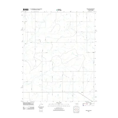
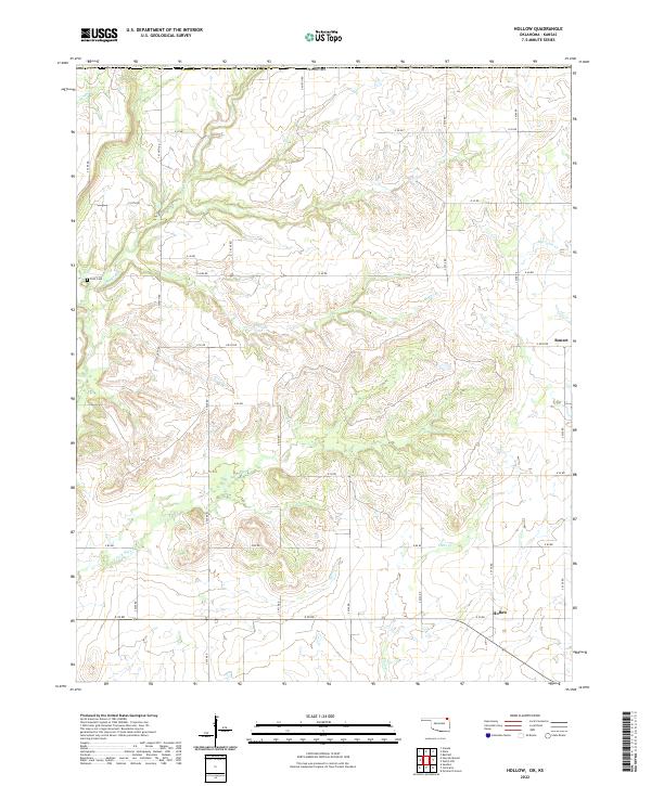
1972 Hollow
Craig County, OK
2010 Centralia
Craig County, OK
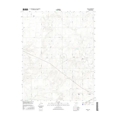
2010 Estella
Craig County, OK
2010 Hollow
Craig County, OK
2010 Pyramid Corners
Craig County, OK
2010 Vinita NE
Craig County, OK
2010 Welch North
Craig County, OK
2010 Welch NW
Craig County, OK
2010 Welch South
Craig County, OK
2012 Centralia
Craig County, OK
2012 Estella
Craig County, OK
2012 Hollow
Craig County, OK
2012 Pyramid Corners
Craig County, OK
2012 Vinita NE
Craig County, OK
2012 Welch North
Craig County, OK
2012 Welch NW
Craig County, OK
2012 Welch South
Craig County, OK
2016 Centralia
Craig County, OK
2016 Estella
Craig County, OK
2016 Hollow
Craig County, OK
2016 Pyramid Corners
Craig County, OK
2016 Vinita NE
Craig County, OK
2016 Welch North
Craig County, OK
2016 Welch NW
Craig County, OK
2016 Welch South
Craig County, OK
2018 Hollow
Craig County, OK
2019 Centralia
Craig County, OK
2019 Estella
Craig County, OK
2019 Pyramid Corners
Craig County, OK
2019 Vinita NE
Craig County, OK
2019 Welch North
Craig County, OK
2019 Welch NW
Craig County, OK
2019 Welch South
Craig County, OK
2022 Centralia
Craig County, OK
2022 Estella
Craig County, OK
2022 Hollow
Craig County, OK
2022 Pyramid Corners
Craig County, OK
2022 Vinita NE
Craig County, OK
2022 Welch NW
Craig County, OK
2022 Welch South
Craig County, OK
2023 Welch North
Craig County, OK