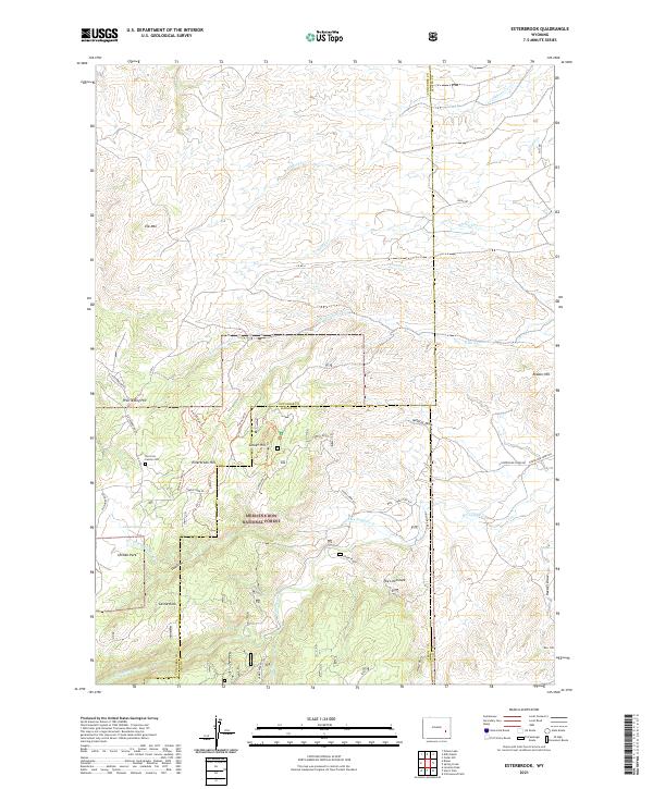
2021 Map of Esterbrook
USGS Topo · Published 2021About this map
Medicine Bow National Forest dominates the southern half of this landscape, where the high-altitude terrain of the Laramie Mountains is carved by numerous seasonal drainages. The Norcross Family Cem sits near the foot of Esterbrook Hill, serving as a quiet marker of early ranching families in this part of Wyoming. This modern survey illustrates a complex network of forest routes and hiking paths, including the evocative Ghost Trl and Misty Ridge Trl.
Find a feature on this map
49 named features on this map. Tap any name to fly to it.
Don’t see what you’re looking for? This feature index may not catch every label — zoom into the map to look around manually.
Map Details
Editions of this 2021 Esterbrook Map
This is the sole edition of this map. No revisions or reprints were ever made.
Other maps of this area
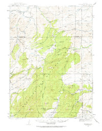
1943 · Esterbrook
USGS Topo · 1:62,500
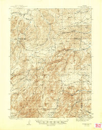
1945 · Esterbrook
USGS Topo · 1:62,500
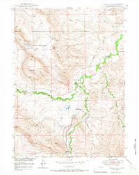
1949 · Poison Lake
USGS Topo · 1:24,000
1949 · Cedar Hill
USGS Topo · 1:24,000
1949 · Spring Creek
USGS Topo · 1:24,000
1949 · Dilts Ranch
USGS Topo · 1:24,000
1950 · Spring Creek
USGS Topo · 1:24,000
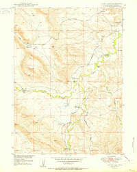
1950 · Poison Lake
USGS Topo · 1:24,000
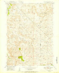
1950 · Dilts Ranch
USGS Topo · 1:24,000
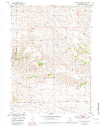
1950 · Cottonwood Falls
USGS Topo · 1:24,000