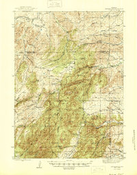
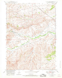
1945 Map of Esterbrook
USGS Topo · Published 1945About this map
Laramie Peak anchors the southern reaches of this landscape, where the high-altitude terrain of the Laramie Range transitions into the ranching country of the Converse and Albany county line. The settlement at Esterbrook serves as a central hub, surrounded by a network of family-operated holdings such as Macfarlane Ranch and Rutherford Ranch. This era of Wyoming history is characterized by small, decentralized rural infrastructure, evident in the distribution of one-room schoolhouses like Morton Sch and Prairie Dog Sch that provided essential services to isolated homesteads.
Find a feature on this map
74 named features on this map. Tap any name to fly to it.
Don’t see what you’re looking for? This feature index may not catch every label — zoom into the map to look around manually.
Map Details
Editions of this 1945 Esterbrook Map
2 editions found
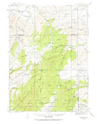
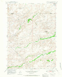
Other maps of this area
1943 · Esterbrook
USGS Topo · 1:62,500
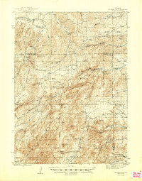
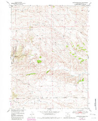
1945 · Esterbrook
USGS Topo · 1:62,500

1949 · Poison Lake
USGS Topo · 1:24,000
1949 · Cedar Hill
USGS Topo · 1:24,000
1949 · Spring Creek
USGS Topo · 1:24,000

1949 · Dilts Ranch
USGS Topo · 1:24,000

1950 · Spring Creek
USGS Topo · 1:24,000

1950 · Poison Lake
USGS Topo · 1:24,000

1950 · Dilts Ranch
USGS Topo · 1:24,000
1950 · Cottonwood Falls
USGS Topo · 1:24,000