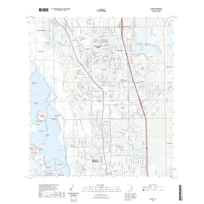
2021 Map of Estero
USGS Topo · Published 2021About this map
The mangrove shorelines and intricate tidal creeks of Estero Bay characterize this coastal landscape, where the Intracoastal Waterway threads behind protective islands like Big Hickory Island and Long Key. The map details the transition from the Gulf's labyrinthine waters to the inland development of Bonita Springs and Estero, showcasing a complex network of recreational and historical routes including the Florida Circumnavigational Paddling Trl and the Great Calusa Blueway Trail Phase I Trl.
Find a feature on this map
54 named features on this map. Tap any name to fly to it.
Don’t see what you’re looking for? This feature index may not catch every label — zoom into the map to look around manually.
Map Details
Editions of this 2021 Estero Map
This is the sole edition of this map. No revisions or reprints were ever made.
Other maps of this area

1956 · West Palm Beach
USGS Topo · 1:250,000

1957 · West Palm Beach
USGS Topo · 1:250,000

1958 · West Palm Beach
USGS Topo · 1:250,000

1958 · Bonita Springs
USGS Topo · 1:24,000

1958 · Corkscrew NW
USGS Topo · 1:24,000

1958 · Estero
USGS Topo · 1:24,000

1958 · Fort Myers SW
USGS Topo · 1:24,000

1958 · Alva SW
USGS Topo · 1:24,000

1958 · Corkscrew SW
USGS Topo · 1:24,000
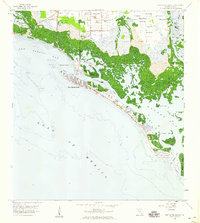
1958 · Fort Myers Beach
USGS Topo · 1:24,000
Featured Places
- Spring Creek Village, FL
- Fountain Lakes, FL
- Residences at Coconut Point, FL
- North Lake Village, FL
- Lighthouse Bay at the Brooks, FL