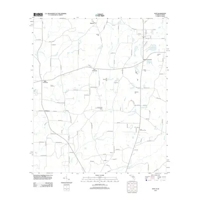
2012 Map of Esto
USGS Topo · Published 2012About this map
Bethlehem West Florida Camp Meeting Ground stands as a significant cultural landmark in this rural Florida-Alabama borderland, reflecting the region's deep religious and communal heritage. The landscape is defined by its small, traditional settlements and crossroads communities, such as Holland Crossroads and Miller Crossroads, which served as local focal points for the surrounding agricultural tracts.
Find a feature on this map
112 named features on this map. Tap any name to fly to it.
Don’t see what you’re looking for? This feature index may not catch every label — zoom into the map to look around manually.
Map Details
Editions of this 2012 Esto Map
This is the sole edition of this map. No revisions or reprints were ever made.
Other maps of this area

1942 · Enterprise
USGS Topo · 1:125,000

1949 · Caryville
USGS Topo · 1:24,000

1950 · Caryville
USGS Topo · 1:24,000

1950 · Izagora
USGS Topo · 1:24,000

1950 · Chipley
USGS Topo · 1:24,000

1950 · Esto
USGS Topo · 1:24,000

1951 · Graceville
USGS Topo · 1:24,000

1951 · Esto
USGS Topo · 1:24,000

1951 · Chipley
USGS Topo · 1:24,000

1951 · Bonifay
USGS Topo · 1:24,000