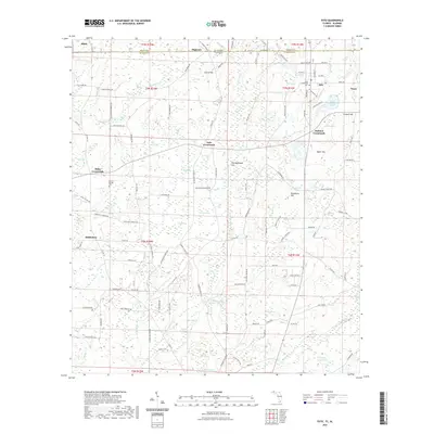
2021 Map of Esto
USGS Topo · Published 2021About this map
The town of Esto sits along the state line where Alabama and Florida meet, serving as a focal point for a landscape defined by small settlements and unique bay formations. The northern portion of the map is punctuated by the village of Black and the community of Highnote, while the eastern side features the rural center of Noma. These settlements are interconnected by a network of established roads, including Co RD 160 and Co RD 177, which link crossroads such as Holland Crossroads and Miller Crossroads.
Find a feature on this map
138 named features on this map. Tap any name to fly to it.
Don’t see what you’re looking for? This feature index may not catch every label — zoom into the map to look around manually.
Map Details
Editions of this 2021 Esto Map
This is the sole edition of this map. No revisions or reprints were ever made.
Other maps of this area

1942 · Enterprise
USGS Topo · 1:125,000

1949 · Caryville
USGS Topo · 1:24,000

1950 · Caryville
USGS Topo · 1:24,000

1950 · Izagora
USGS Topo · 1:24,000

1950 · Chipley
USGS Topo · 1:24,000

1950 · Esto
USGS Topo · 1:24,000

1951 · Graceville
USGS Topo · 1:24,000

1951 · Esto
USGS Topo · 1:24,000

1951 · Chipley
USGS Topo · 1:24,000

1951 · Bonifay
USGS Topo · 1:24,000