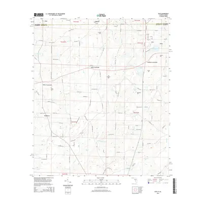
2024 Map of Esto
USGS Topo · Published 2024About this map
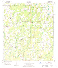
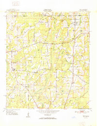
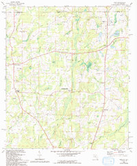
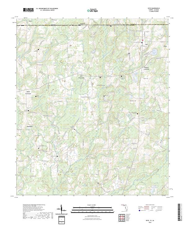
Esto and its surrounding crossroads settlements sit along the border of Geneva County, Alabama and Holmes County, Florida, defined by a landscape of small-scale agriculture and numerous bays. The terrain is characterized by low hills like Coates Hill and Taylor Hill, interspersed with swampy depressions such as Coates Bay, Pate Bay, and the expansive Burkett Bay Swamp. Rural life in this borderland is anchored by several long-standing churches and family burial grounds, including the Bethany Baptist Church Cemetery and the Carter Family Cemetery. This region, managed in part by the Farm Service Agency, maintains a traditional Southern interior character, where local navigation relies on landmarks like Holland Crossroads and Miller Crossroads. The network of creeks, including Tenmile Creek and Rice Machine Branch, highlights the importance of water management in this low-lying territory.
Find a feature on this map
150 named features on this map. Tap any name to fly to it.
Don’t see what you’re looking for? This feature index may not catch every label — zoom into the map to look around manually.
Map Details
Editions of this 2024 Esto Map
This is the sole edition of this map. No revisions or reprints were ever made.
Historical Maps of Esto Through Time
8 maps found