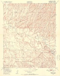
1948 Map of Estrella
USGS Topo · Published 1952About this map
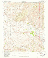
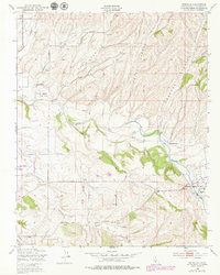
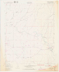
The winding Estrella River defines this landscape in northeastern San Luis Obispo County, where the high desert terrain of the Inner Coast Range meets agricultural expansion. In the late 1940s, this area was characterized by a network of ranching outposts and small rural communities like Estrella and Whitley Gardens. The presence of several educational sites, including Pleasant Valley Sch and Union Sch, points to a dispersed but established population of homesteading families.
Find a feature on this map
19 named features on this map. Tap any name to fly to it.
Don’t see what you’re looking for? This feature index may not catch every label — zoom into the map to look around manually.
Map Details
Editions of this 1948 Estrella Map
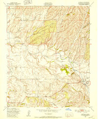
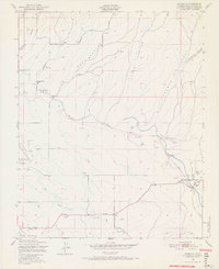
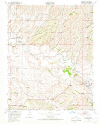
7 editions found
Other maps of this area

1914 · Cholame
USGS Topo · 1:125,000

1915 · Cholame
USGS Topo · 1:125,000

1917 · Cholame
USGS Topo · 1:125,000

1919 · San Miguel
USGS Topo · 1:62,500

1919 · Paso Robles
USGS Topo · 1:62,500

1943 · Shandon
USGS Topo · 1:31,680

1943 · Paso Robles
USGS Topo · 1:62,500

1943 · Shedd Canyon
USGS Topo · 1:31,680
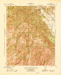
1943 · Cholame Hills
USGS Topo · 1:31,680

1947 · San Luis Obispo
USGS Topo · 1:250,000