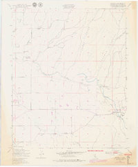
1948 Map of Estrella
USGS Topo · Published 1979About this map
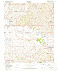
Estrella River winds through a landscape defined by deep drainages and cattle ranching history in this mid-century topographic record. The settlement of Estrella and the more concentrated Whitley Gardens serve as primary points of interest for genealogists, supported by rural community hubs such as Pleasant Valley Sch, Union Sch, and Phillips Sch. The map reveals a reliance on groundwater for agriculture and livestock, evidenced by dozens of noted windmills distributed across the canyon floors and ridges.
Find a feature on this map
29 named features on this map. Tap any name to fly to it.
Don’t see what you’re looking for? This feature index may not catch every label — zoom into the map to look around manually.
Map Details
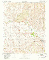
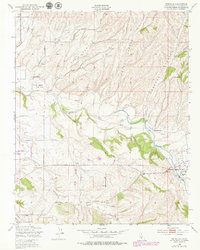
Editions of this 1948 Estrella Map
7 editions found
Other maps of this area

1914 · Cholame
USGS Topo · 1:125,000

1915 · Cholame
USGS Topo · 1:125,000

1917 · Cholame
USGS Topo · 1:125,000

1919 · San Miguel
USGS Topo · 1:62,500

1919 · Paso Robles
USGS Topo · 1:62,500

1943 · Shandon
USGS Topo · 1:31,680

1943 · Paso Robles
USGS Topo · 1:62,500

1943 · Shedd Canyon
USGS Topo · 1:31,680
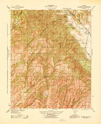
1943 · Cholame Hills
USGS Topo · 1:31,680

1947 · San Luis Obispo
USGS Topo · 1:250,000