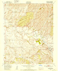
1948 Map of Estrella
USGS Topo · Published 1952About this map
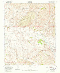
Estrella Creek flows through this San Luis Obispo County landscape, defining a region of deep drainage systems including Hog Canyon, Eyes Canyon, and Freeman Canyon. Based on 1947 aerial photography, the map reveals a rural economy dependent on well-watered valleys and scattered infrastructure, evidenced by the numerous Windmill labels dotting the hillsides. Educational hubs serve the agricultural community at Pleasant Valley Sch, Union Sch, and Phillips Sch, while the Paso Robles-San Luis Obispo County Airport and a nearby Airstrip at Hillman Ranch indicate the growing importance of aviation in the post-war era. Small settlements like Whitley Gardens and the community of Estrella appear alongside seasonal waterways such as Dry Creek and Huerhuero Creek, reflecting a settlement pattern tied closely to the intermittent hydrology of the Central Coast.
Find a feature on this map
19 named features on this map. Tap any name to fly to it.
Don’t see what you’re looking for? This feature index may not catch every label — zoom into the map to look around manually.
Map Details
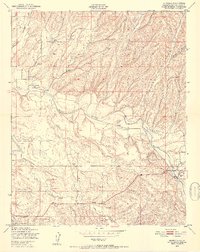
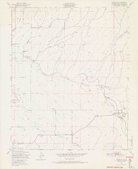
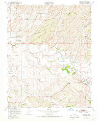
Editions of this 1948 Estrella Map
7 editions found
Other maps of this area

1914 · Cholame
USGS Topo · 1:125,000

1915 · Cholame
USGS Topo · 1:125,000

1917 · Cholame
USGS Topo · 1:125,000

1919 · San Miguel
USGS Topo · 1:62,500

1919 · Paso Robles
USGS Topo · 1:62,500

1943 · Shandon
USGS Topo · 1:31,680

1943 · Paso Robles
USGS Topo · 1:62,500

1943 · Shedd Canyon
USGS Topo · 1:31,680
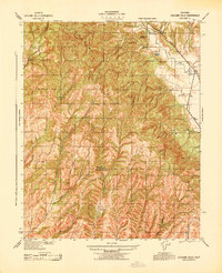
1943 · Cholame Hills
USGS Topo · 1:31,680

1947 · San Luis Obispo
USGS Topo · 1:250,000