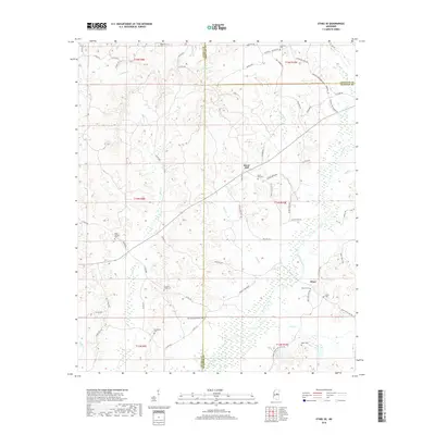
2018 Map of Ethel SE
USGS Topo · Published 2018About this map
Rural Hill and Hinze anchor this rural landscape where Winston, Attala, and Choctaw counties meet in central Mississippi. The terrain is defined by a dense network of tributaries, including the winding Lobutcha Creek and Turkey Cr, which likely shaped the early settlement patterns and road networks visible here. Family and community heritage is particularly evident through the numerous burial grounds scattered across the townships, such as Pleasant Ridge Cem, Macedonia Cem, and Doty Springs Cem. The transportation system relies on established routes like Hinze Rural Hill Rd and Hopewell - McCool Rd, connecting these small unincorporated communities and their local landmarks. This map provides a detailed view of the area's social geography, from the East County Line Cem to the church-affiliated Nebo Cem, offering a clear picture of the region's enduring rural character.
Find a feature on this map
75 named features on this map. Tap any name to fly to it.
Don’t see what you’re looking for? This feature index may not catch every label — zoom into the map to look around manually.
Map Details
Editions of this 2018 Ethel SE Map
This is the sole edition of this map. No revisions or reprints were ever made.
Other maps of this area

1953 · Meridian
USGS Topo · 1:250,000

1953 · West Point
USGS Topo · 1:250,000

1957 · Meridian
USGS Topo · 1:250,000

1958 · West Point
USGS Topo · 1:250,000

1962 · Edinburg
USGS Topo · 1:62,500

1963 · West Point
USGS Topo · 1:250,000

1965 · Meridian
USGS Topo · 1:250,000

1972 · McCool
USGS Topo · 1:24,000

1972 · Highpoint
USGS Topo · 1:24,000
1972 · Ethel North
USGS Topo · 1:24,000