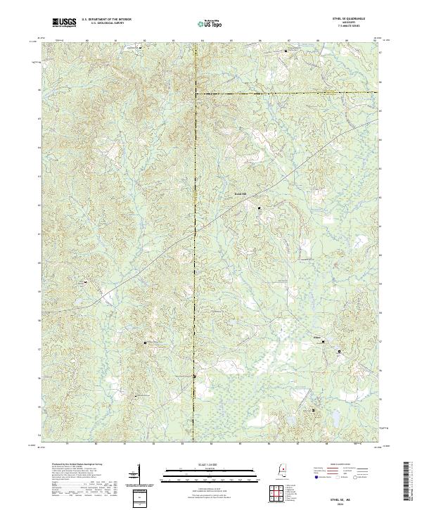
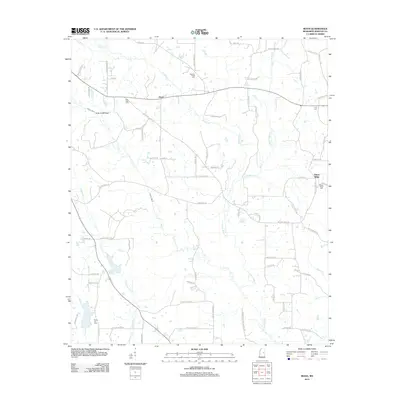
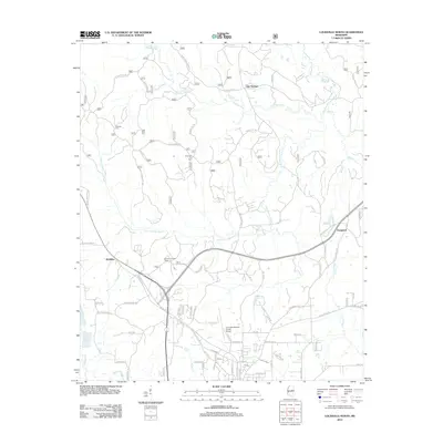
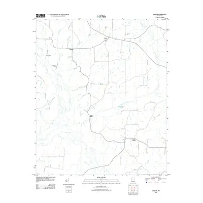
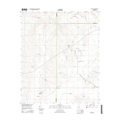
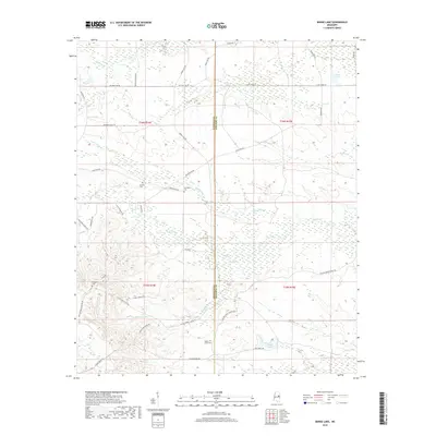
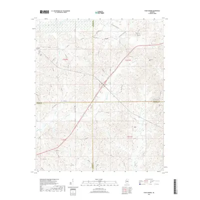
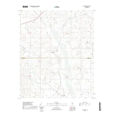
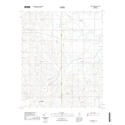
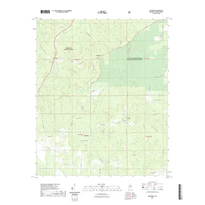
2024 Map of Ethel SE
USGS Topo · Published 2024About this map
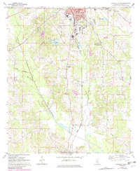
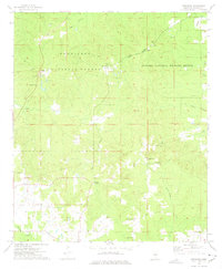
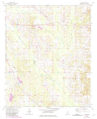
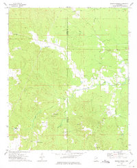
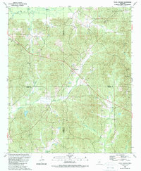
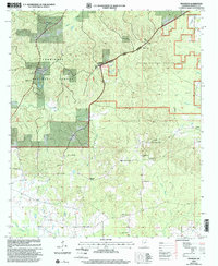
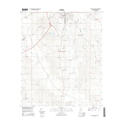
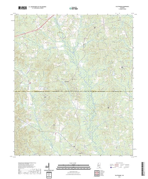
Rural Hill and Hinze serve as the primary crossroads in this rural landscape where Attala, Choctaw, and Winston counties converge. The terrain is defined by a dense network of tributaries, including Lobutcha Creek, Turkey Creek, and McQuirter Creek, which weave through the timberlands and open acreage. The geography is notably shaped by the Farm Service Agency Interest of Mississippi land holdings, which occupy a significant portion of the southern quadrants.
Find a feature on this map
86 named features on this map. Tap any name to fly to it.
Don’t see what you’re looking for? This feature index may not catch every label — zoom into the map to look around manually.
Map Details
Editions of this 2024 Ethel SE Map
This is the sole edition of this map. No revisions or reprints were ever made.
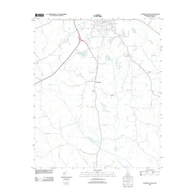
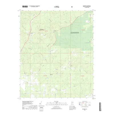
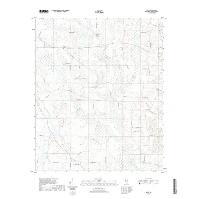
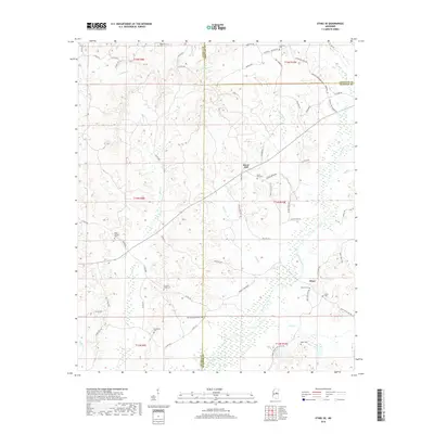
Historical Maps of Rural Hill Through Time
68 maps found
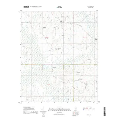
1962 Vernon
Winston County, MS
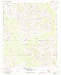
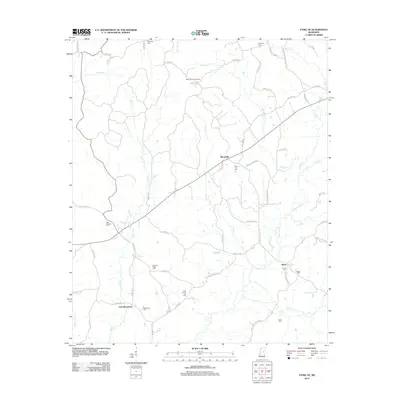
1972 Ethel SE
Winston County, MS
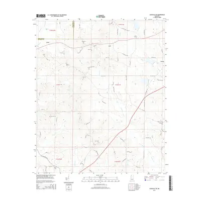
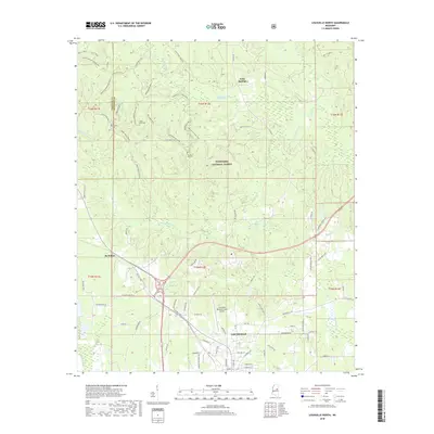
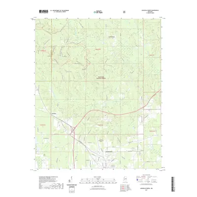
1972 Louisville North
Winston County, MS
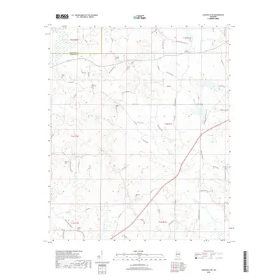
1972 Louisville South
Winston County, MS
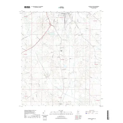
1972 Louisville SW
Winston County, MS
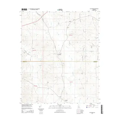
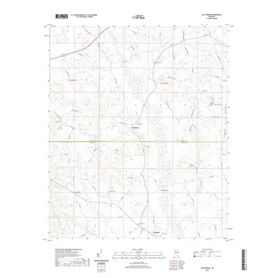
1972 Plattsburg
Winston County, MS
1973 Barge Lake
Winston County, MS
1973 Betheden
Winston County, MS
1973 Boon
Winston County, MS
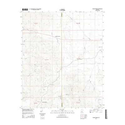
1973 Fearns Springs
Winston County, MS
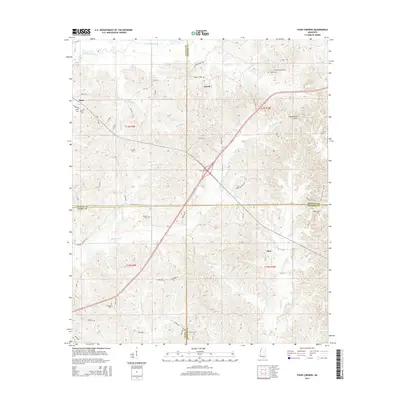
1989 Four Corners
Winston County, MS
2000 Betheden
Winston County, MS
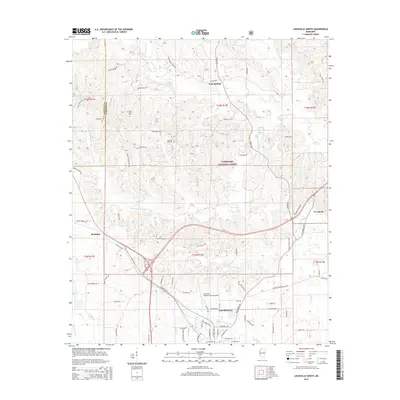
2000 Louisville North
Winston County, MS
2012 Barge Lake
Winston County, MS
2012 Betheden
Winston County, MS
2012 Boon
Winston County, MS
2012 Ethel SE
Winston County, MS
2012 Fearns Springs
Winston County, MS
2012 Four Corners
Winston County, MS
2012 Louisville North
Winston County, MS
2012 Louisville South
Winston County, MS
2012 Louisville SW
Winston County, MS
2012 Plattsburg
Winston County, MS
2012 Vernon
Winston County, MS
2015 Barge Lake
Winston County, MS
2015 Betheden
Winston County, MS
2015 Boon
Winston County, MS
2015 Ethel SE
Winston County, MS
2015 Fearns Springs
Winston County, MS
2015 Four Corners
Winston County, MS
2015 Louisville North
Winston County, MS
2015 Louisville South
Winston County, MS
2015 Louisville SW
Winston County, MS
2015 Plattsburg
Winston County, MS
2015 Vernon
Winston County, MS
2018 Barge Lake
Winston County, MS
2018 Betheden
Winston County, MS
2018 Boon
Winston County, MS
2018 Ethel SE
Winston County, MS

2018 Fearns Springs
Winston County, MS
2018 Four Corners
Winston County, MS
2018 Louisville North
Winston County, MS
2018 Louisville South
Winston County, MS
2018 Louisville SW
Winston County, MS
2018 Plattsburg
Winston County, MS
2018 Vernon
Winston County, MS

2020 Barge Lake
Winston County, MS
2020 Boon
Winston County, MS
2020 Ethel SE
Winston County, MS
2020 Fearns Springs
Winston County, MS
2020 Four Corners
Winston County, MS
2020 Louisville South
Winston County, MS
2020 Louisville SW
Winston County, MS
2020 Plattsburg
Winston County, MS
2020 Vernon
Winston County, MS
2021 Betheden
Winston County, MS
2021 Louisville North
Winston County, MS
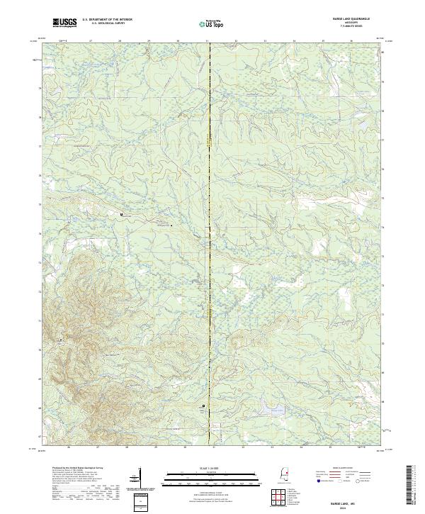
2024 Barge Lake
Winston County, MS
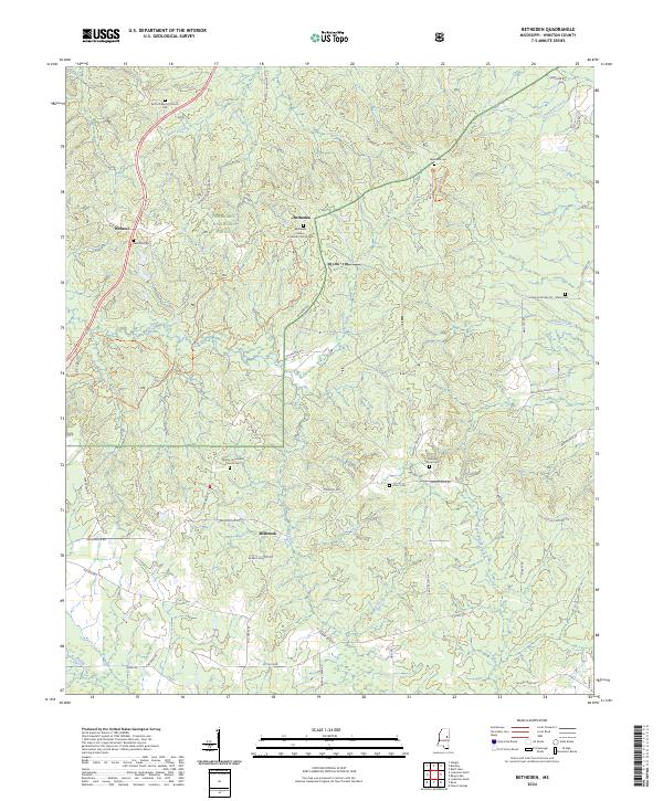
2024 Betheden
Winston County, MS
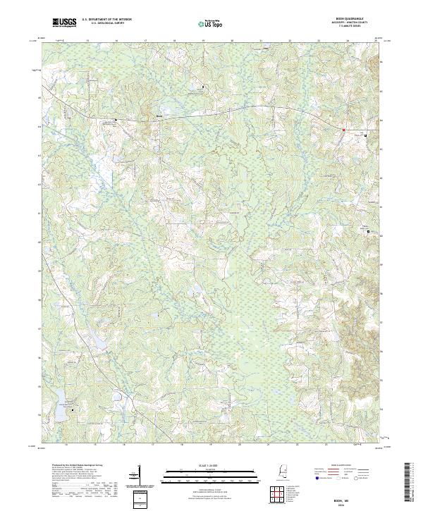
2024 Boon
Winston County, MS
2024 Ethel SE
Winston County, MS
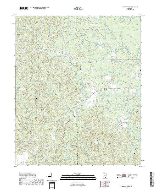
2024 Fearns Springs
Winston County, MS
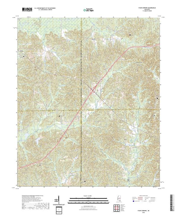
2024 Four Corners
Winston County, MS
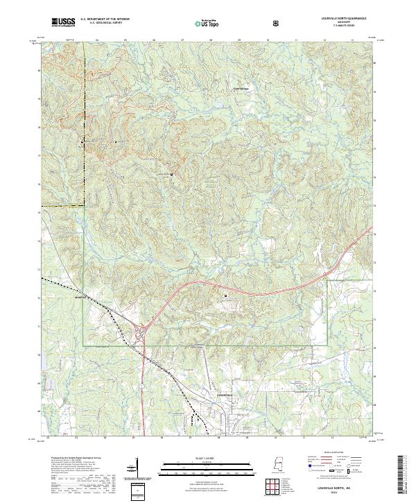
2024 Louisville North
Winston County, MS
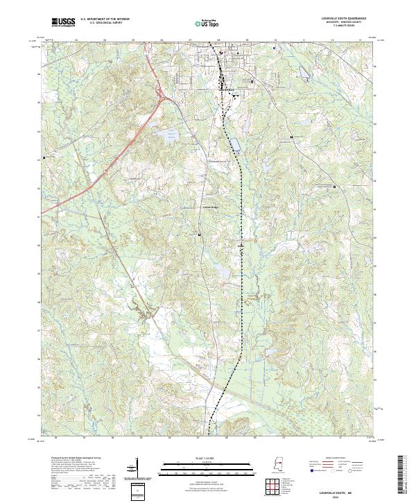
2024 Louisville South
Winston County, MS
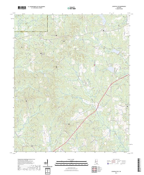
2024 Louisville SW
Winston County, MS
2024 Plattsburg
Winston County, MS
2024 Vernon
Winston County, MS