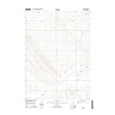
2015 Map of Ethete
USGS Topo · Published 2015About this map
Ethete sits at the heart of this high-plains landscape, where the Little Wind River and Trout Cr converge. The area is defined by its deep cultural roots and geothermal activity, notably Washakie Mineral Hot Springs and the nearby Tardy Geyser. Irrigation systems like the Coolidge Canal reflect the agricultural development of the region, drawing water to support the surrounding allotments and homesteads.
Find a feature on this map
31 named features on this map. Tap any name to fly to it.
Don’t see what you’re looking for? This feature index may not catch every label — zoom into the map to look around manually.
Map Details
Editions of this 2015 Ethete Map
This is the sole edition of this map. No revisions or reprints were ever made.
Other maps of this area

1950 · Pavillion
USGS Topo · 1:24,000

1951 · Mule Butte
USGS Topo · 1:24,000

1951 · Morton
USGS Topo · 1:24,000

1951 · Fort Washakie
USGS Topo · 1:24,000

1951 · Argo Butte
USGS Topo · 1:24,000

1951 · Ethete
USGS Topo · 1:24,000

1952 · Ray Lake
USGS Topo · 1:24,000

1952 · Wind River
USGS Topo · 1:24,000

1952 · Lander NW
USGS Topo · 1:24,000

1955 · Thermopolis
USGS Topo · 1:250,000