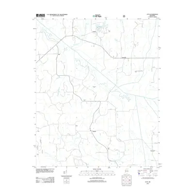
2012 Map of Etta
USGS Topo · Published 2012About this map
The Little Tallahatchie River snakes through the center of this North Mississippi landscape, defining the rural character of Union County as it appeared in the early 21st century. The small community of Etta serves as a local hub near the western edge, while other dispersed settlements like Pinedale, Flatwood, and Enterprise are connected by a network of county roads. The terrain is marked by numerous watercourses feeding into the river, including Mitchell Cr and Lockes Cr.
Find a feature on this map
62 named features on this map. Tap any name to fly to it.
Don’t see what you’re looking for? This feature index may not catch every label — zoom into the map to look around manually.
Map Details
Editions of this 2012 Etta Map
This is the sole edition of this map. No revisions or reprints were ever made.
Other maps of this area

1942 · Denmark
USGS Topo · 1:62,500

1943 · Denmark
USGS Topo · 1:62,500

1944 · Potts Camp
USGS Topo · 1:62,500

1945 · Potts Camp
USGS Topo · 1:62,500

1949 · New Albany
USGS Topo · 1:62,500

1951 · New Albany
USGS Topo · 1:62,500

1955 · Blue Mountain
USGS Topo · 1:62,500

1956 · Tupelo
USGS Topo · 1:250,000

1958 · Tupelo
USGS Topo · 1:250,000

1980 · Northwest Pontotoc
USGS Topo · 1:24,000