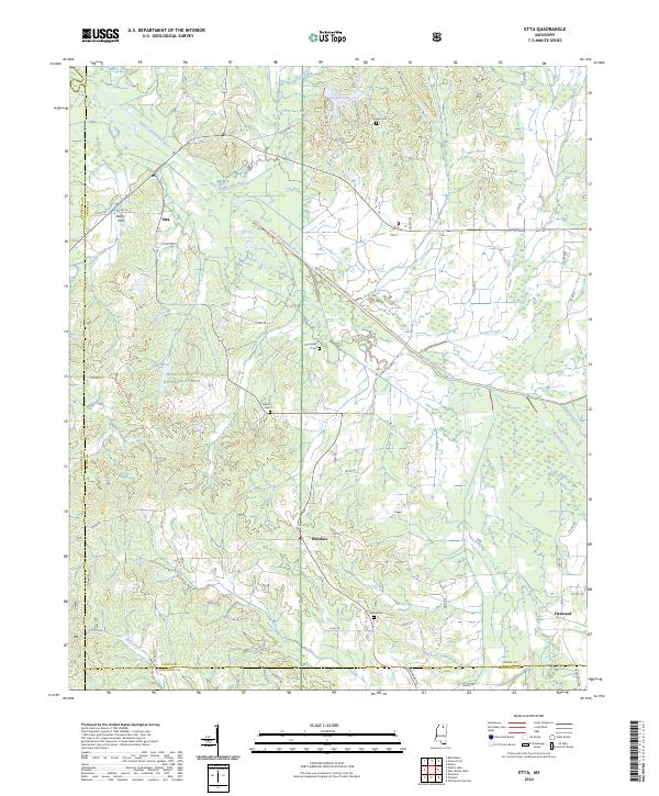
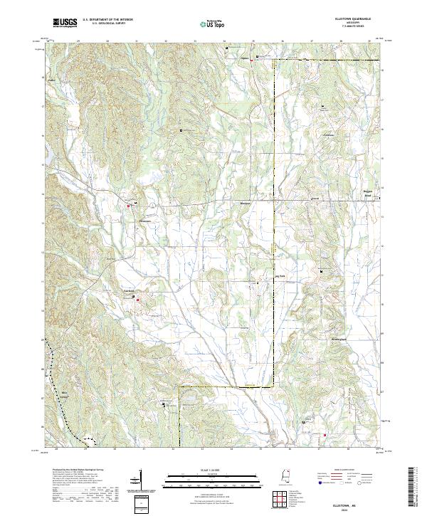
2024 Map of Etta
USGS Topo · Published 2024This historical map portrays the area of Etta in 2024, primarily covering Union County as well as portions of Marshall County, Pontotoc County, and Lafayette County. Featuring a scale of 1:24000, this map provides a highly detailed snapshot of the terrain, roads, buildings, counties, and historical landmarks in the Etta region at the time. Published in 2024, it is the sole known edition of this map.
Map Details
Editions of this 2024 Etta Map
This is the sole edition of this map. No revisions or reprints were ever made.
Historical Maps of Flatwood Through Time
13 maps found
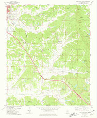
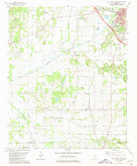
1980 Ellistown
Union County, MS
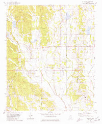
1980 Etta
Union County, MS
1980 New Albany East
Union County, MS
1980 New Albany West
Union County, MS
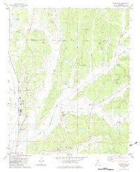
1982 Keownville
Union County, MS

1982 Pleasant Ridge
Union County, MS
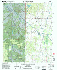
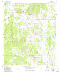
2000 Etta
Union County, MS
2024 Ellistown
Union County, MS
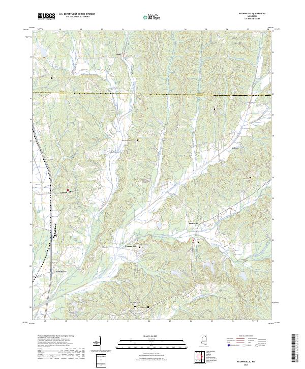
2024 Etta
Union County, MS
2024 Keownville
Union County, MS
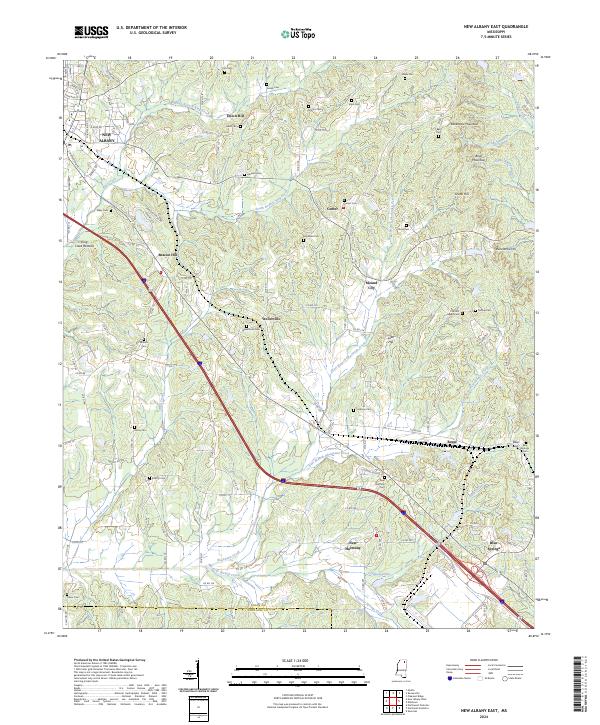
2024 New Albany East
Union County, MS
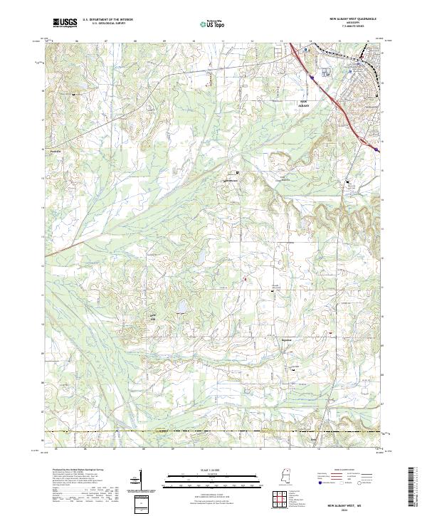
2024 New Albany West
Union County, MS
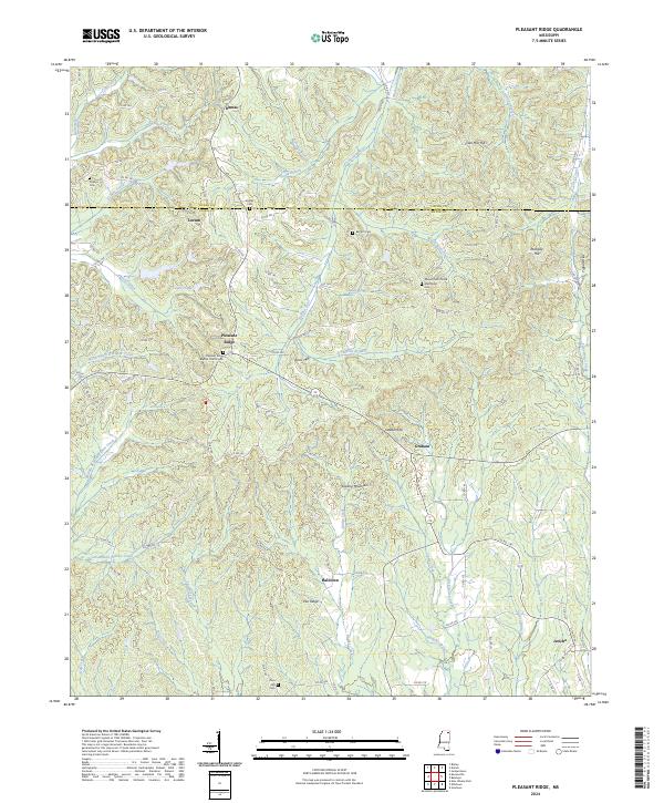
2024 Pleasant Ridge
Union County, MS