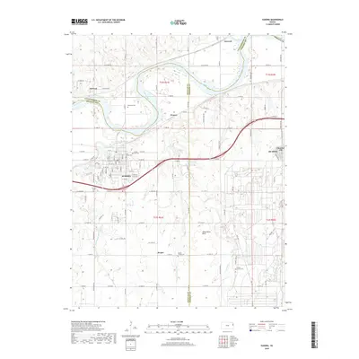
2018 Map of Eudora
USGS Topo · Published 2018About this map
The Kansas River flows through the northern part of this 2018 survey, where it meets the Wakarusa River just west of Eudora. This area, situated at the junction of Douglas, Leavenworth, and Johnson Counties, shows a landscape defined by river bottoms and the agricultural plateaus around Hesper and Weaver. Local history is deeply etched into the land through several established burial grounds, including the Delaware Cem and Cem Beni Israel. The settlement of De Soto and the adjacent Clearview City anchor the eastern edge of the quadrangle. The elevation rises south of the river towards Observation Bluff, offering a perspective over the drainage of Captain Cr and Coleman Cr. This document provides a clear look at the contemporary road network and land divisions that have evolved in this river-valley region.
Find a feature on this map
106 named features on this map. Tap any name to fly to it.
Don’t see what you’re looking for? This feature index may not catch every label — zoom into the map to look around manually.
Map Details
Editions of this 2018 Eudora Map
This is the sole edition of this map. No revisions or reprints were ever made.
Other maps of this area

1885 · Lawrence
USGS Topo · 1:125,000

1886 · Oskaloosa
USGS Topo · 1:125,000

1887 · Olathe
USGS Topo · 1:125,000

1888 · Oskaloosa
USGS Topo · 1:125,000

1889 · Lawrence
USGS Topo · 1:125,000

1890 · Kansas City
USGS Topo · 1:125,000

1893 · Olathe
USGS Topo · 1:125,000

1894 · Kansas City
USGS Topo · 1:125,000

1894 · Oskaloosa
USGS Topo · 1:125,000

1934 · Bonner Springs
USGS Topo · 1:48,000