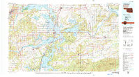
1978 Map of Eufaula
USGS Topo · Published 1979About this map
Eufaula Lake dominates this Oklahoma landscape, its dendritic shoreline winding through the timbered hills of the Sans Bois Mountains and Beaver Mountain. This late-1970s record shows the region following the massive inundation of the Canadian River and North Canadian River valleys, with Fountainhead State Park and Arrowhead State Park established as major recreational hubs on the water.
Find a feature on this map
73 named features on this map. Tap any name to fly to it.
Don’t see what you’re looking for? This feature index may not catch every label — zoom into the map to look around manually.
Map Details
Editions of this 1978 Eufaula Map
This is the sole edition of this map. No revisions or reprints were ever made.
Other maps of this area
1896 · Okmulgee
USGS Topo · 1:125,000
1896 · Coalgate
USGS Topo · 1:125,000
1898 · McAlester
USGS Topo · 1:125,000
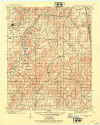
1898 · Tahlequah
USGS Topo · 1:125,000
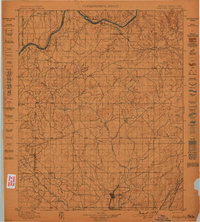
1899 · Coalgate
USGS Topo · 1:125,000
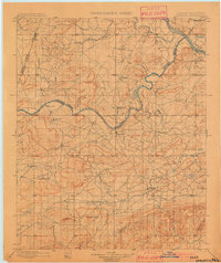
1900 · Sansbois
USGS Topo · 1:125,000
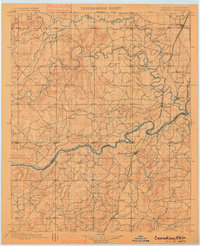
1900 · Canadian
USGS Topo · 1:125,000
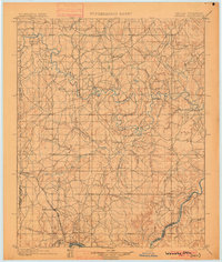
1900 · Wewoka
USGS Topo · 1:125,000
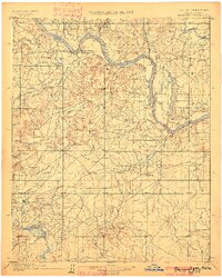
1900 · Okmulgee
USGS Topo · 1:125,000
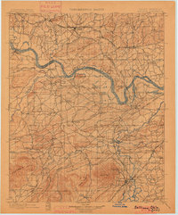
1900 · Sallisaw
USGS Topo · 1:125,000