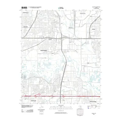
2010 Map of Euless
USGS Topo · Published 2010About this map
The West Fork Trinity River winds through this heavily developed corridor between Fort Worth and Irving, defining the southern boundary of the Dallas-Fort Worth International Airport. While much of the landscape is dominated by the sprawling infrastructure of the airport and logistics hubs like the Amon Carter Post Office, older layers of Tarrant County history remain visible. Numerous small burial grounds, including Bear Creek Cemetery, Ford Cemetery, and West Fork Cemetery, are preserved amidst the modern street grid of Euless and Grand Prairie. The map also captures the residential expansion of Bedford and Colleyville to the northwest, contrasting the industrial activity around Estelle and the airport's water treatment facilities with the suburban neighborhoods north of Arlington.
Find a feature on this map
67 named features on this map. Tap any name to fly to it.
Don’t see what you’re looking for? This feature index may not catch every label — zoom into the map to look around manually.
Map Details
Editions of this 2010 Euless Map
This is the sole edition of this map. No revisions or reprints were ever made.
Other maps of this area

1891 · Dallas
USGS Topo · 1:125,000

1893 · Dallas
USGS Topo · 1:125,000

1894 · Fort Worth
USGS Topo · 1:125,000

1925 · Dallas 2-b
USGS Topo · 1:48,000

1931 · Carrollton
USGS Topo · 1:62,500

1931 · Grapevine
USGS Topo · 1:62,500

1954 · Dallas
USGS Topo · 1:250,000

1958 · Dallas
USGS Topo · 1:250,000

1959 · Kennedale
USGS Topo · 1:24,000

1959 · Arlington
USGS Topo · 1:24,000