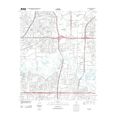
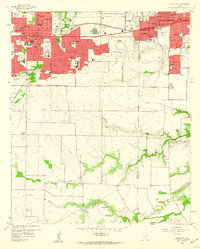
2013 Map of Euless
USGS Topo · Published 2013About this map
The W Fork Trinity River snakes through this urbanized landscape between Fort Worth and Dallas, defining a corridor of open space amid dense residential and commercial expansion. The area surrounding the Dallas/Fort Worth International Airport dominates the northeast, while the remnants of older communities like Estelle and Tarrant are visible through the modern grid of thoroughfares. Local history is preserved in several small burial grounds, including Bear Creek Cem and Colloway Cem, which sit in contrast to the rapid development of the early 21st century. Education and industry have a strong presence here, represented by the Arlington Career Institute and the American Broadcasting Sch. South of the river, the landscape transitions into the outskirts of Arlington, where the Road to Six Flags St W points toward the region's major entertainment hubs.
Find a feature on this map
47 named features on this map. Tap any name to fly to it.
Don’t see what you’re looking for? This feature index may not catch every label — zoom into the map to look around manually.
Map Details
Editions of this 2013 Euless Map
This is the sole edition of this map. No revisions or reprints were ever made.
Other maps of this area
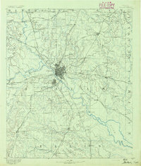
1891 · Dallas
USGS Topo · 1:125,000
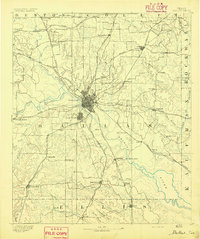
1893 · Dallas
USGS Topo · 1:125,000
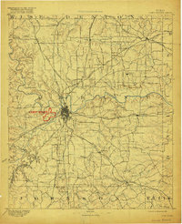
1894 · Fort Worth
USGS Topo · 1:125,000
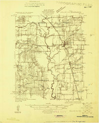
1925 · Dallas 2-b
USGS Topo · 1:48,000
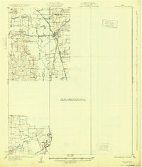
1931 · Carrollton
USGS Topo · 1:62,500
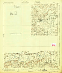
1931 · Grapevine
USGS Topo · 1:62,500

1954 · Dallas
USGS Topo · 1:250,000

1958 · Dallas
USGS Topo · 1:250,000
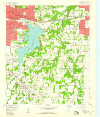
1959 · Kennedale
USGS Topo · 1:24,000
1959 · Arlington
USGS Topo · 1:24,000