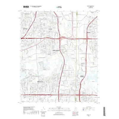
2019 Map of Euless
USGS Topo · Published 2019About this map
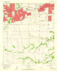
The West Fork Trinity River winds through the heart of the Tarrant and Dallas county line, anchoring a landscape defined by the convergence of the massive Dallas-Fort Worth International Airport and several major urban centers. In the north, the historic settlement area of Estelle sits near the airport grounds, while the southern reaches show the expansion of Arlington and Grand Prairie. This modern survey illustrates how infrastructure such as the Airport Fwy and Hwy 161 has reshaped the land around older landmarks like the Calloway Cem and Bear Creek Cem. The map provides a detailed record of the suburban and industrial growth connecting Euless, Bedford, and Irving, highlighting the small remaining pockets of open land and water features like Conover Lake and Johnson Cr that persist amidst the sprawl.
Find a feature on this map
77 named features on this map. Tap any name to fly to it.
Don’t see what you’re looking for? This feature index may not catch every label — zoom into the map to look around manually.
Map Details
Editions of this 2019 Euless Map
This is the sole edition of this map. No revisions or reprints were ever made.
Other maps of this area
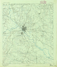
1891 · Dallas
USGS Topo · 1:125,000
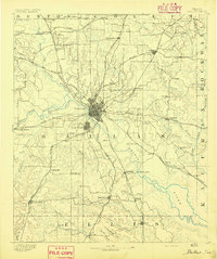
1893 · Dallas
USGS Topo · 1:125,000
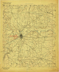
1894 · Fort Worth
USGS Topo · 1:125,000
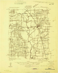
1925 · Dallas 2-b
USGS Topo · 1:48,000
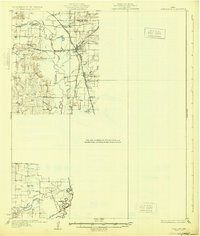
1931 · Carrollton
USGS Topo · 1:62,500
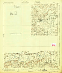
1931 · Grapevine
USGS Topo · 1:62,500

1954 · Dallas
USGS Topo · 1:250,000

1958 · Dallas
USGS Topo · 1:250,000
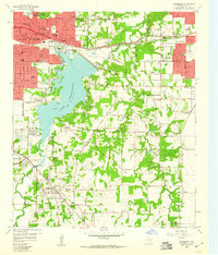
1959 · Kennedale
USGS Topo · 1:24,000
1959 · Arlington
USGS Topo · 1:24,000