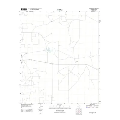
2012 Map of Eunice NE
USGS Topo · Published 2012About this map
The Elliott Littman Oil Field dominates the northern landscape of this Lea County region, illustrating the deep-seated connection between the local economy and petroleum extraction. This 2012 survey by the U.S. Geological Survey reveals a high-desert environment characterized by a sparse but functional network of roads such as Wallach Ln, Nw 9999, and Co Rd 9701. Water remains a vital but limited resource in this arid terrain, marked specifically at Baker Spring. The topography is generally subtle, punctuated by natural landmarks like Windmill Hill, which provide orientation across the expansive plains of the Permian Basin. The map's layout reflects the industrial organization of the territory, where lease roads and utility corridors serve the energy sector rather than traditional residential settlements.
Find a feature on this map
6 named features on this map. Tap any name to fly to it.
Don’t see what you’re looking for? This feature index may not catch every label — zoom into the map to look around manually.
Map Details
Editions of this 2012 Eunice NE Map
This is the sole edition of this map. No revisions or reprints were ever made.
Other maps of this area

1954 · Hobbs
USGS Topo · 1:250,000

1958 · Hobbs
USGS Topo · 1:250,000

1969 · Hobbs SW
USGS Topo · 1:24,000

1969 · Eunice
USGS Topo · 1:24,000

1969 · Hobbs SE
USGS Topo · 1:24,000

1969 · Eunice NE
USGS Topo · 1:24,000

1969 · Eunice SE
USGS Topo · 1:24,000

1969 · Rattlesnake Canyon
USGS Topo · 1:24,000

1971 · Brinson Ranch
USGS Topo · 1:24,000

1971 · Jumbo Hill
USGS Topo · 1:24,000