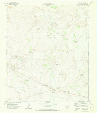
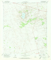
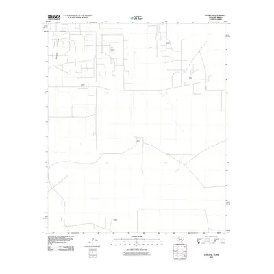
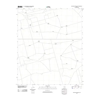
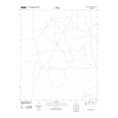
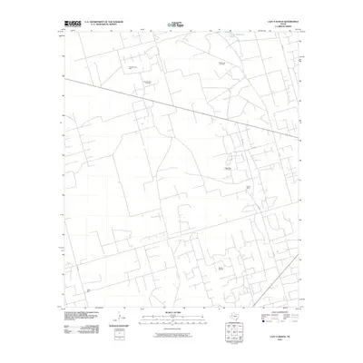
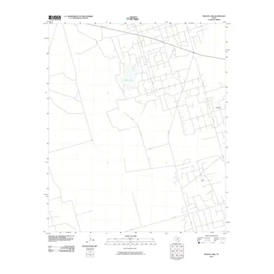
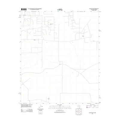
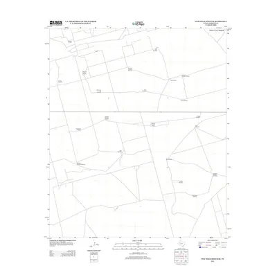
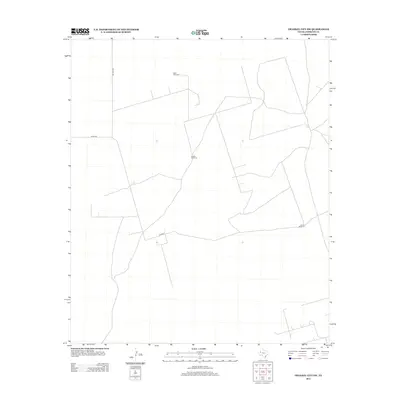
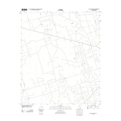
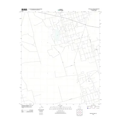
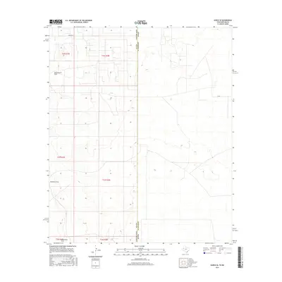
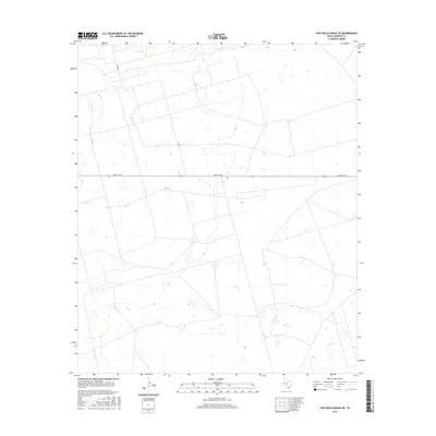
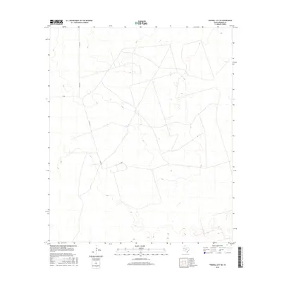
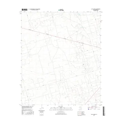
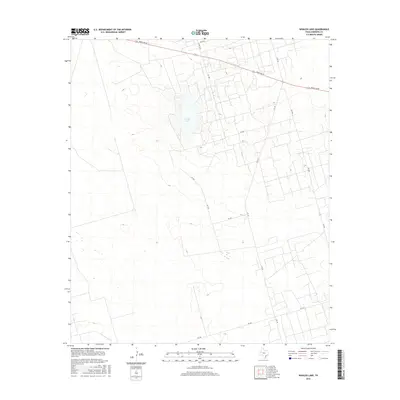
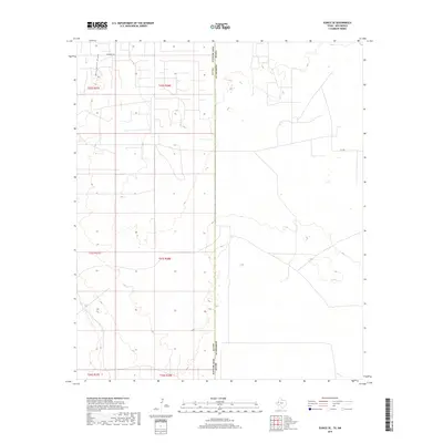
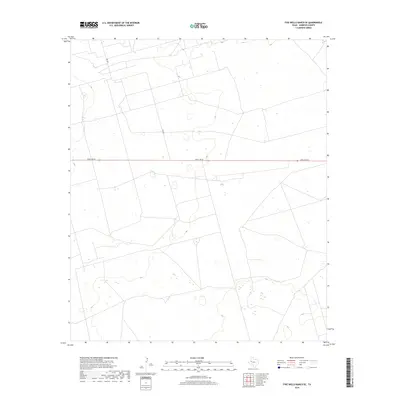
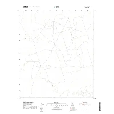
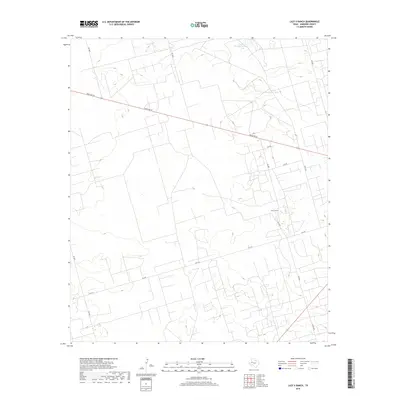
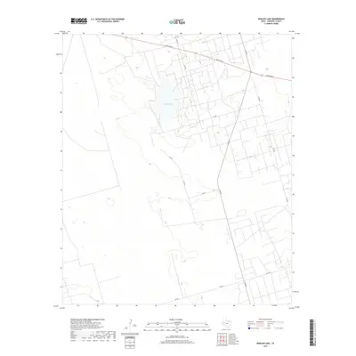
1969 Map of Eunice NE
USGS Topo · Published 1983About this map
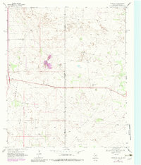
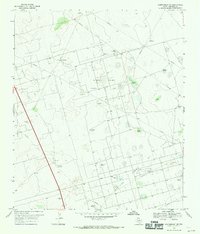
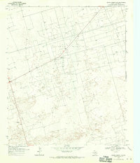
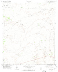
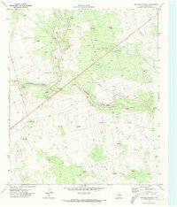
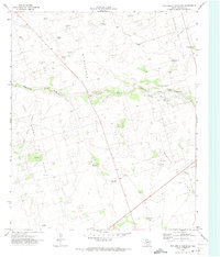
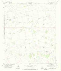
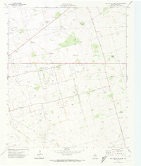
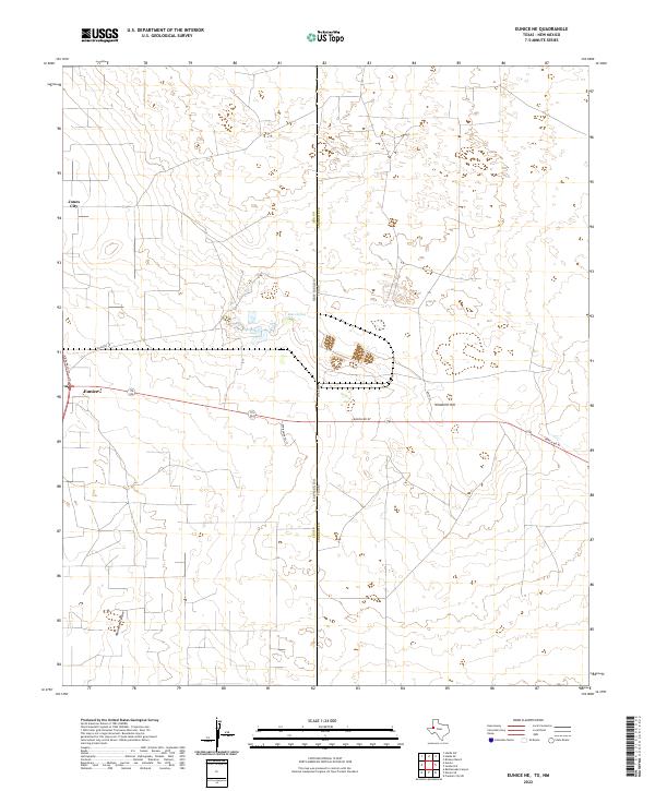
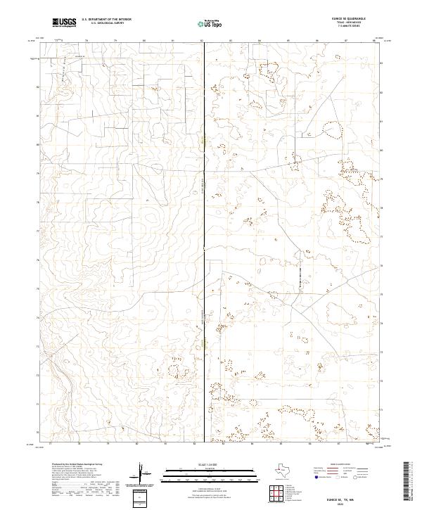
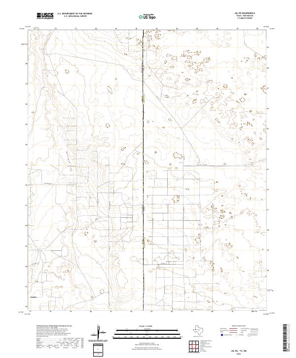
Elliott Oil Field and the Jal Monument Oil Field dominate this landscape along the border of New Mexico and Texas. The terrain is defined by the industrial infrastructure of the mid-century petroleum boom, featuring a dense network of pipelines, drill holes, and service sites like the Pumping Sta and a Radio Facility. While the small settlement of Jones City appears on the western edge, much of the area remains open rangeland punctuated by landmarks like Windmill Hill and the natural drainage of Monument Draw. A rare water source, Baker Spring, is located near the center of the survey, while a Roadside Park along the main east-west thoroughfare provides one of the few public landmarks in this corner of Lea and Andrews Counties.
Find a feature on this map
15 named features on this map. Tap any name to fly to it.
Don’t see what you’re looking for? This feature index may not catch every label — zoom into the map to look around manually.
Map Details
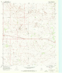
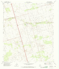
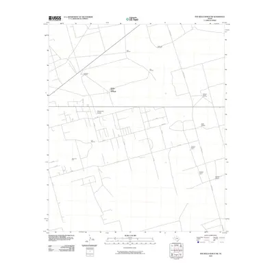
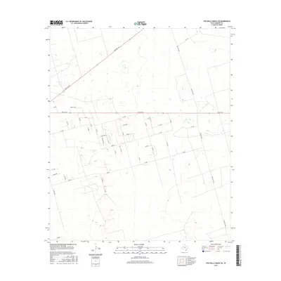
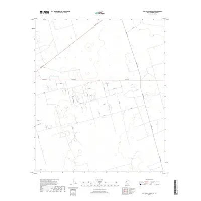
Editions of this 1969 Eunice NE Map
2 editions found
Historical Maps of Lea County Through Time
120 maps found
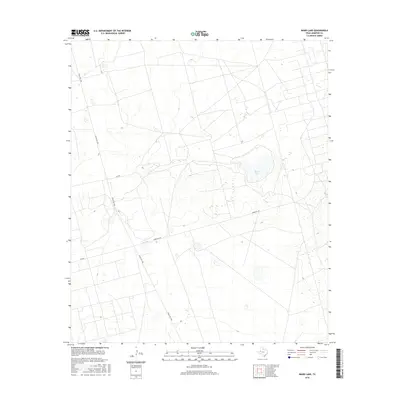
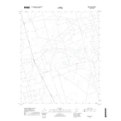
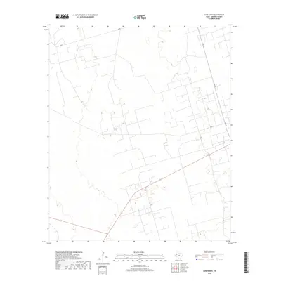
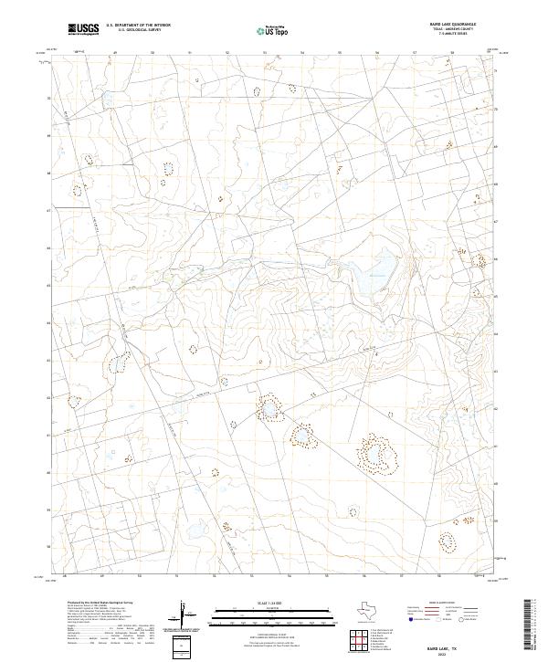
1968 Baird Lake
Andrews County, TX
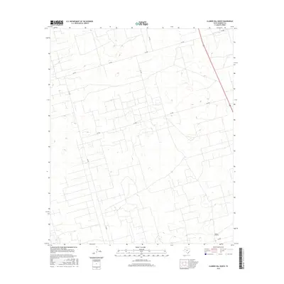
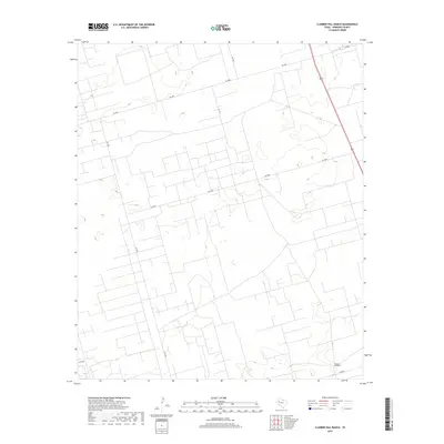
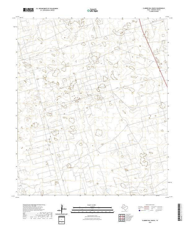
1968 Clabber Hill Ranch
Andrews County, TX
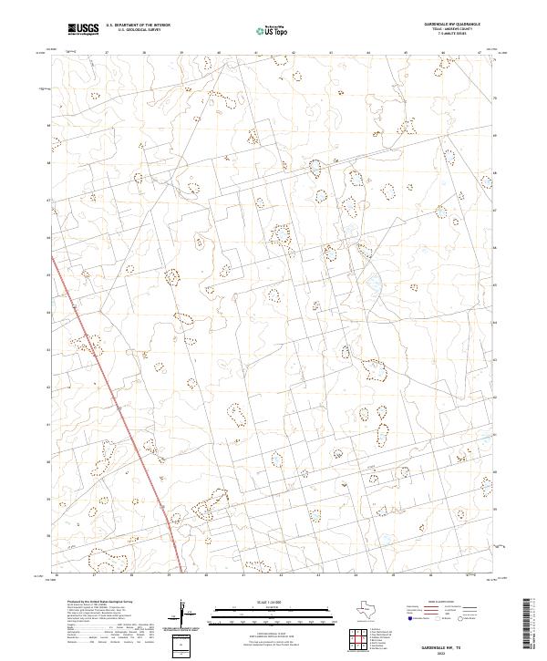
1968 Gardendale NW
Andrews County, TX
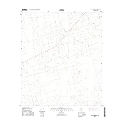
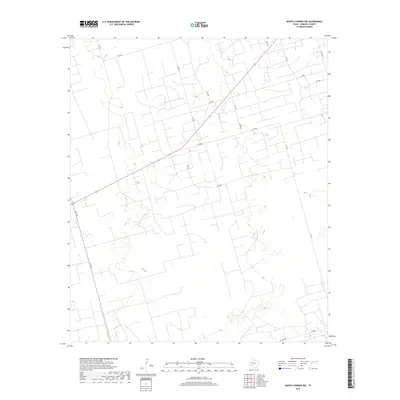
1968 North Cowden NW
Andrews County, TX
1969 Eunice NE
Andrews County, TX
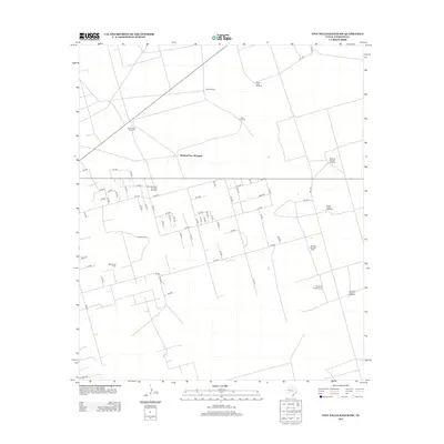
1969 Eunice SE
Andrews County, TX
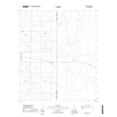
1969 Jal NE
Andrews County, TX
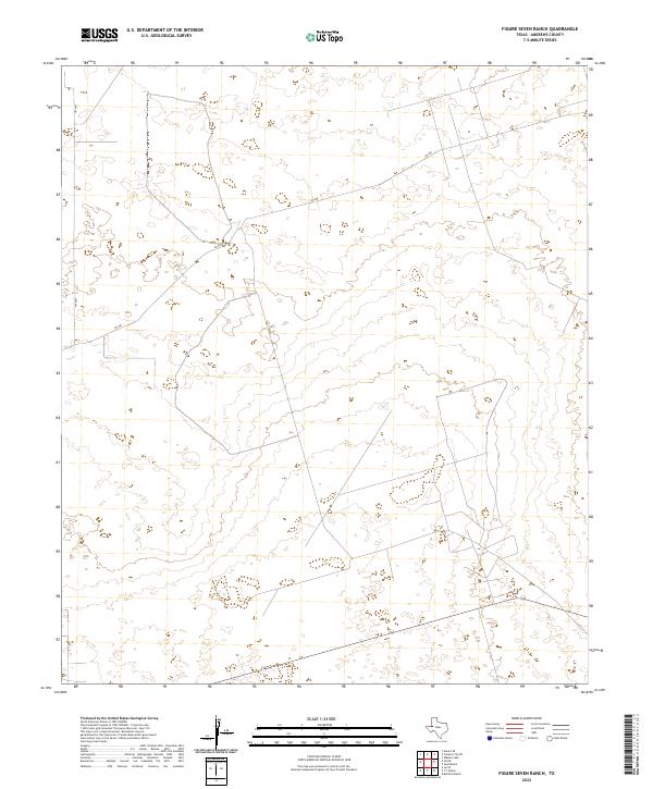
1971 Figure Seven Ranch
Andrews County, TX
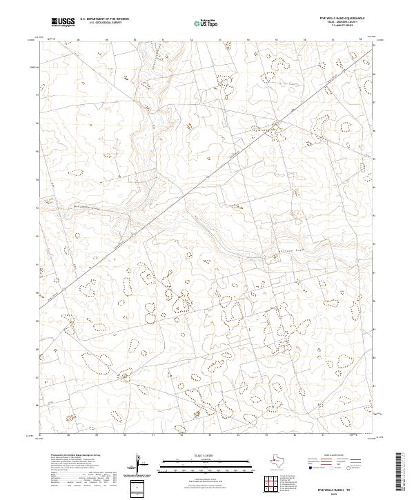
1971 Five Wells Ranch
Andrews County, TX
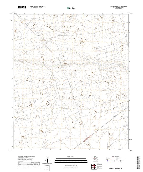
1971 Five Wells Ranch NW
Andrews County, TX
1971 Five Wells Ranch SE
Andrews County, TX
1971 Five Wells Ranch SW
Andrews County, TX
1971 Florey
Andrews County, TX
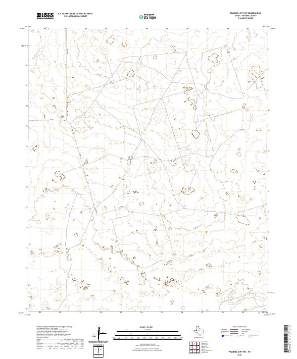
1971 Frankel City
Andrews County, TX
1971 Frankel City SW
Andrews County, TX
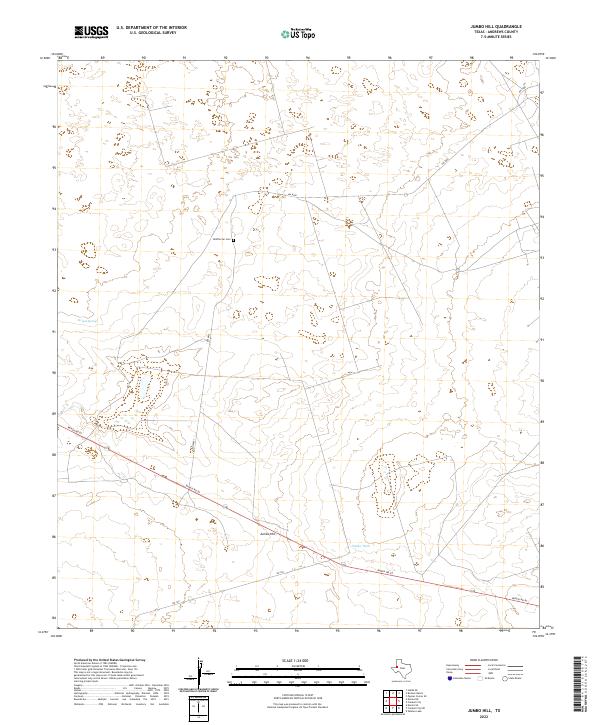
1971 Jumbo Hill
Andrews County, TX
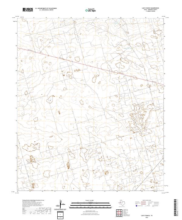
1971 Lazy X Ranch
Andrews County, TX
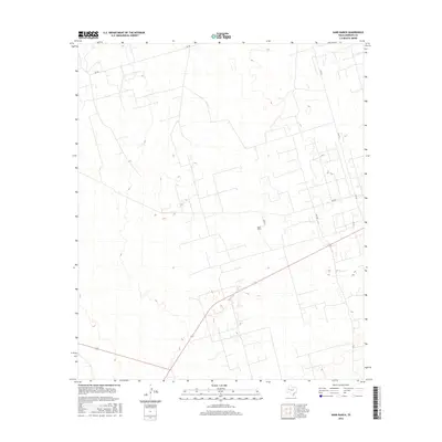
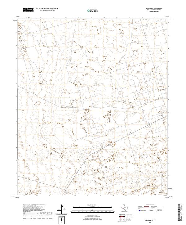
1971 Sand Ranch
Andrews County, TX
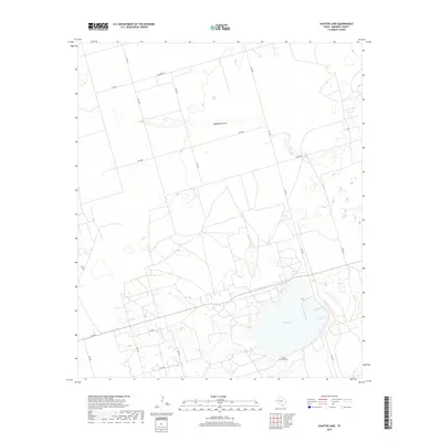
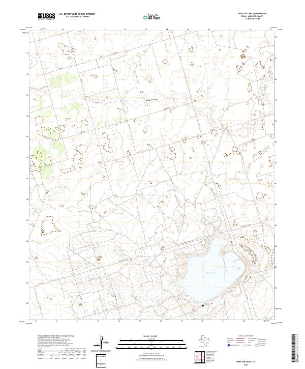
1971 Shafter Lake
Andrews County, TX
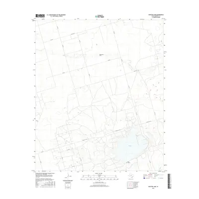
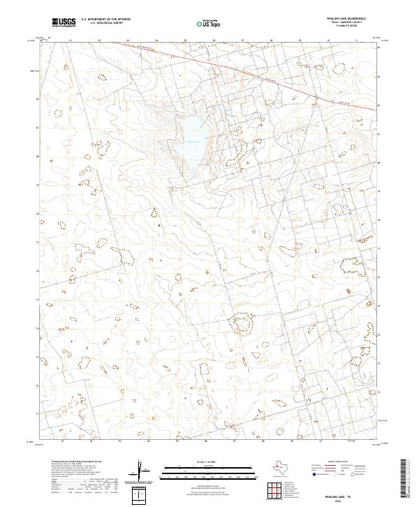
1971 Whalen Lake
Andrews County, TX
2010 Baird Lake
Andrews County, TX
2010 Clabber Hill Ranch
Andrews County, TX
2010 Eunice NE
Andrews County, TX
2010 Eunice SE
Andrews County, TX
2010 Figure Seven Ranch
Andrews County, TX
2010 Five Wells Ranch
Andrews County, TX
2010 Five Wells Ranch NW
Andrews County, TX
2010 Five Wells Ranch SE
Andrews County, TX
2010 Five Wells Ranch SW
Andrews County, TX
2010 Florey
Andrews County, TX
2010 Frankel City
Andrews County, TX
2010 Frankel City SW
Andrews County, TX
2010 Gardendale NW
Andrews County, TX
2010 Jal NE
Andrews County, TX
2010 Jumbo Hill
Andrews County, TX
2010 Lazy X Ranch
Andrews County, TX
2010 North Cowden NW
Andrews County, TX
2010 Sand Ranch
Andrews County, TX
2010 Shafter Lake
Andrews County, TX
2010 Whalen Lake
Andrews County, TX
2012 Baird Lake
Andrews County, TX
2012 Clabber Hill Ranch
Andrews County, TX
2012 Eunice NE
Andrews County, TX
2012 Eunice SE
Andrews County, TX
2012 Figure Seven Ranch
Andrews County, TX
2012 Five Wells Ranch
Andrews County, TX
2012 Five Wells Ranch NW
Andrews County, TX
2012 Five Wells Ranch SE
Andrews County, TX
2012 Five Wells Ranch SW
Andrews County, TX
2012 Florey
Andrews County, TX
2012 Frankel City
Andrews County, TX
2012 Frankel City SW
Andrews County, TX
2012 Gardendale NW
Andrews County, TX
2012 Jal NE
Andrews County, TX
2012 Jumbo Hill
Andrews County, TX
2012 Lazy X Ranch
Andrews County, TX
2012 North Cowden NW
Andrews County, TX
2012 Sand Ranch
Andrews County, TX
2012 Shafter Lake
Andrews County, TX
2012 Whalen Lake
Andrews County, TX
2016 Baird Lake
Andrews County, TX
2016 Clabber Hill Ranch
Andrews County, TX
2016 Eunice NE
Andrews County, TX
2016 Eunice SE
Andrews County, TX
2016 Figure Seven Ranch
Andrews County, TX
2016 Five Wells Ranch
Andrews County, TX
2016 Five Wells Ranch NW
Andrews County, TX
2016 Five Wells Ranch SE
Andrews County, TX
2016 Five Wells Ranch SW
Andrews County, TX
2016 Florey
Andrews County, TX
2016 Frankel City
Andrews County, TX
2016 Frankel City SW
Andrews County, TX
2016 Gardendale NW
Andrews County, TX
2016 Jal NE
Andrews County, TX
2016 Jumbo Hill
Andrews County, TX
2016 Lazy X Ranch
Andrews County, TX
2016 North Cowden NW
Andrews County, TX
2016 Sand Ranch
Andrews County, TX
2016 Shafter Lake
Andrews County, TX
2016 Whalen Lake
Andrews County, TX
2019 Baird Lake
Andrews County, TX
2019 Clabber Hill Ranch
Andrews County, TX
2019 Eunice NE
Andrews County, TX
2019 Eunice SE
Andrews County, TX
2019 Figure Seven Ranch
Andrews County, TX
2019 Five Wells Ranch
Andrews County, TX
2019 Five Wells Ranch NW
Andrews County, TX
2019 Five Wells Ranch SE
Andrews County, TX
2019 Five Wells Ranch SW
Andrews County, TX
2019 Florey
Andrews County, TX
2019 Frankel City
Andrews County, TX
2019 Frankel City SW
Andrews County, TX
2019 Gardendale NW
Andrews County, TX
2019 Jal NE
Andrews County, TX
2019 Jumbo Hill
Andrews County, TX
2019 Lazy X Ranch
Andrews County, TX
2019 North Cowden NW
Andrews County, TX
2019 Sand Ranch
Andrews County, TX
2019 Shafter Lake
Andrews County, TX
2019 Whalen Lake
Andrews County, TX
2022 Baird Lake
Andrews County, TX
2022 Clabber Hill Ranch
Andrews County, TX
2022 Eunice NE
Andrews County, TX
2022 Eunice SE
Andrews County, TX
2022 Figure Seven Ranch
Andrews County, TX
2022 Five Wells Ranch
Andrews County, TX
2022 Five Wells Ranch NW
Andrews County, TX
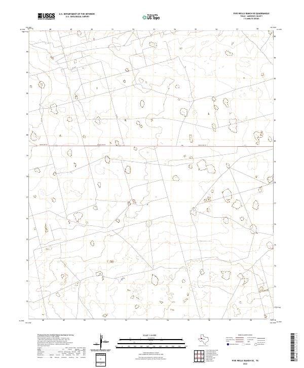
2022 Five Wells Ranch SE
Andrews County, TX
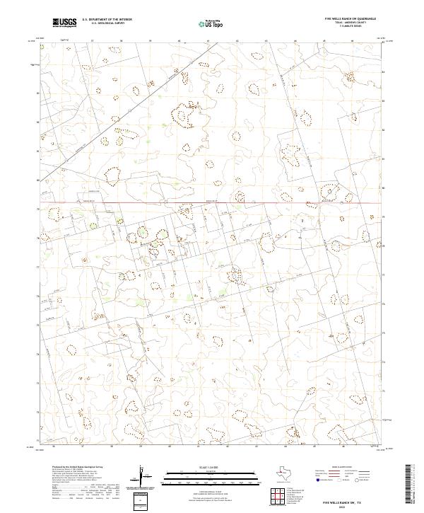
2022 Five Wells Ranch SW
Andrews County, TX
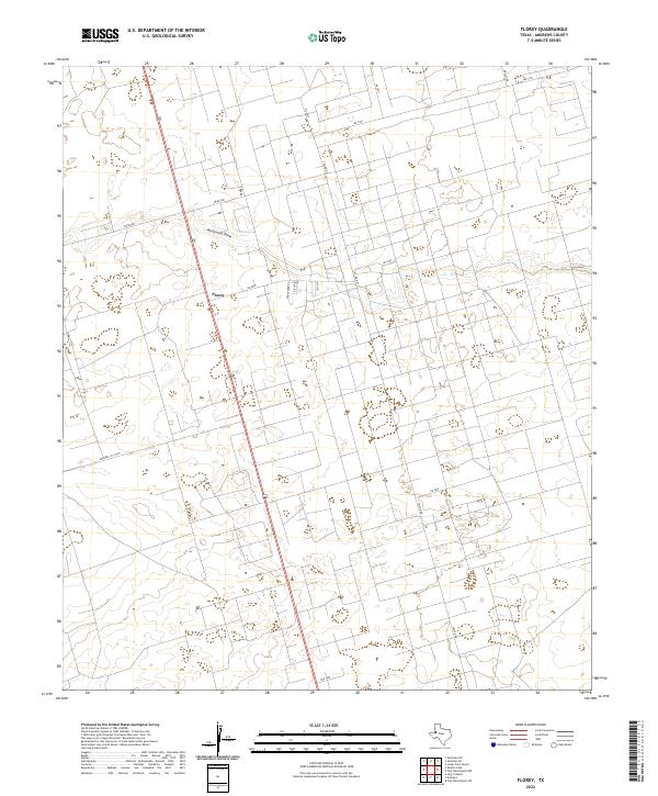
2022 Florey
Andrews County, TX
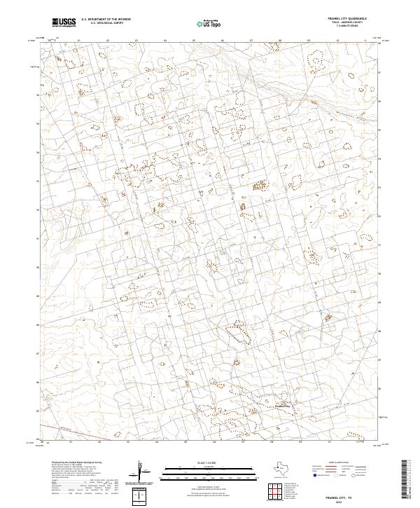
2022 Frankel City
Andrews County, TX
2022 Frankel City SW
Andrews County, TX
2022 Gardendale NW
Andrews County, TX
2022 Jal NE
Andrews County, TX
2022 Jumbo Hill
Andrews County, TX
2022 Lazy X Ranch
Andrews County, TX

2022 North Cowden NW
Andrews County, TX
2022 Sand Ranch
Andrews County, TX
2022 Shafter Lake
Andrews County, TX
2022 Whalen Lake
Andrews County, TX