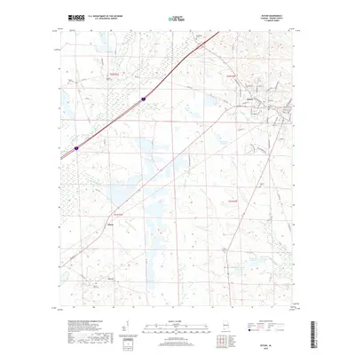
2018 Map of Eutaw
USGS Topo · Published 2018About this map
The county seat of Eutaw sits as the primary hub of this landscape, with its residential streets branching out toward the lowlands and creeks of Greene County. To the southwest, the small settlement of Allison lies along the transition into a more rural, creek-ribbed terrain. The area is notable for its numerous burial sites that serve as important markers for local genealogists, including the Mesopotamia Cem near the town center and the outlying Zion Friendship Cem. The topography is defined by winding watercourses like Brush Creek and Taylor Cr, alongside several man-made impoundments such as Banks Lake and Doc Hollingsworth Lake. Standing as a prominent natural landmark in the southern reaches is Hays Mt, providing a rare point of elevation amidst the drainage basins of Stephens Cr and Culpeper Cr.
Find a feature on this map
75 named features on this map. Tap any name to fly to it.
Don’t see what you’re looking for? This feature index may not catch every label — zoom into the map to look around manually.
Map Details
Editions of this 2018 Eutaw Map
This is the sole edition of this map. No revisions or reprints were ever made.
Other maps of this area

1927 · Eutaw
USGS Topo · 1:48,000

1929 · Epes
USGS Topo · 1:48,000

1931 · Eutaw
USGS Topo · 1:62,500

1932 · Epes
USGS Topo · 1:62,500

1947 · Mason Bend
USGS Topo · 1:24,000

1947 · Forkland
USGS Topo · 1:24,000

1948 · Mason Bend
USGS Topo · 1:24,000

1949 · Forkland
USGS Topo · 1:24,000

1953 · Montgomery
USGS Topo · 1:250,000

1953 · Meridian
USGS Topo · 1:250,000