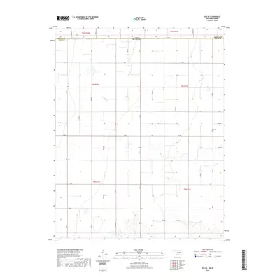
2018 Map of Eva NE
USGS Topo · Published 2018About this map
Texas County in Oklahoma and Morton County in Kansas meet along the northern boundary of this high plains survey, where State Line Road marks the division between the two states. The landscape is defined by the expansive grid of the Public Land Survey System, with sections organized under townships including t6n r11e and t5n r12e. This rigid agricultural geometry is occasionally broken by the meandering path of Cow Creek, which drains toward the southeast. For local history researchers, the map identifies the location of Kuhn Cem in the northeastern portion of the sheet, a lone landmark in a region dominated by rural section roads like Road E and Co Rd 12. The sparse distribution of named features reflects the open, agrarian character of the Oklahoma Panhandle during the early twenty-first century.
Find a feature on this map
28 named features on this map. Tap any name to fly to it.
Don’t see what you’re looking for? This feature index may not catch every label — zoom into the map to look around manually.
Map Details
Editions of this 2018 Eva NE Map
This is the sole edition of this map. No revisions or reprints were ever made.
Other maps of this area

1954 · Perryton
USGS Topo · 1:250,000

1955 · Dodge City
USGS Topo · 1:250,000

1958 · Perryton
USGS Topo · 1:250,000

1958 · Dodge City
USGS Topo · 1:250,000

1959 · Dodge City
USGS Topo · 1:250,000
1973 · Elkhart South
USGS Topo · 1:24,000

1973 · Eva SE
USGS Topo · 1:24,000
1973 · Elkhart North
USGS Topo · 1:24,000

1973 · Hough SW
USGS Topo · 1:24,000
1973 · Eva
USGS Topo · 1:24,000