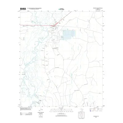
2013 Map of Evadale
USGS Topo · Published 2013About this map
The Neches River forms a complex, meandering boundary along the western edge of this Jasper County landscape, creating a wilderness of oxbows and sloughs including Alligator Lake, Big Eddy Lake, and Johnsons Eddy. The settlement of Evadale serves as the primary hub, where industrial and transportation corridors intersect. To the north, the small community of Temco sits near Craig Cem, while the hamlet of Lillard marks the northwestern reach.
Find a feature on this map
77 named features on this map. Tap any name to fly to it.
Don’t see what you’re looking for? This feature index may not catch every label — zoom into the map to look around manually.
Map Details
Editions of this 2013 Evadale Map
This is the sole edition of this map. No revisions or reprints were ever made.
Other maps of this area

1926 · Lakeview
USGS Topo · 1:24,000

1926 · Texla
USGS Topo · 1:24,000

1932 · Beaumont
USGS Topo · 1:62,500

1943 · Texla
USGS Topo · 1:24,000

1952 · Lake Charles
USGS Topo · 1:250,000

1954 · Lake Charles
USGS Topo · 1:250,000

1954 · Beaumont
USGS Topo · 1:250,000

1955 · Silsbee
USGS Topo · 1:62,500

1955 · Bessmay
USGS Topo · 1:62,500

1957 · Beaumont
USGS Topo · 1:250,000