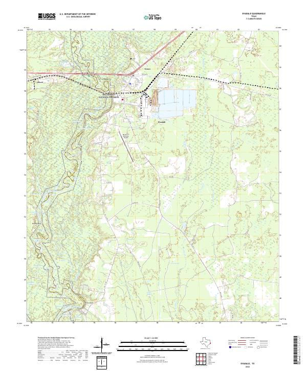
2022 Map of Evadale
USGS Topo · Published 2022About this map
The Neches River carves a winding path along the boundary between Jasper and Hardin Counties, defining a landscape dominated by dense wetlands and hardwood bottoms. Large portions of the northern terrain are protected within the Big Thicket National Preserve, where features like Robinson Marsh and Neyland Lake suggest a complex hydrology shaped by the river's frequent shifts. In the center of the sheet, Evadale serves as the primary settlement, positioned near the Ben Bruce Memorial Airpark and a network of FM roads that connect small rural communities like Lillard and Temco.
Find a feature on this map
59 named features on this map. Tap any name to fly to it.
Don’t see what you’re looking for? This feature index may not catch every label — zoom into the map to look around manually.
Map Details
Editions of this 2022 Evadale Map
This is the sole edition of this map. No revisions or reprints were ever made.
Other maps of this area

1926 · Lakeview
USGS Topo · 1:24,000

1926 · Texla
USGS Topo · 1:24,000

1932 · Beaumont
USGS Topo · 1:62,500

1943 · Texla
USGS Topo · 1:24,000

1952 · Lake Charles
USGS Topo · 1:250,000

1954 · Lake Charles
USGS Topo · 1:250,000

1954 · Beaumont
USGS Topo · 1:250,000

1955 · Silsbee
USGS Topo · 1:62,500

1955 · Bessmay
USGS Topo · 1:62,500

1957 · Beaumont
USGS Topo · 1:250,000