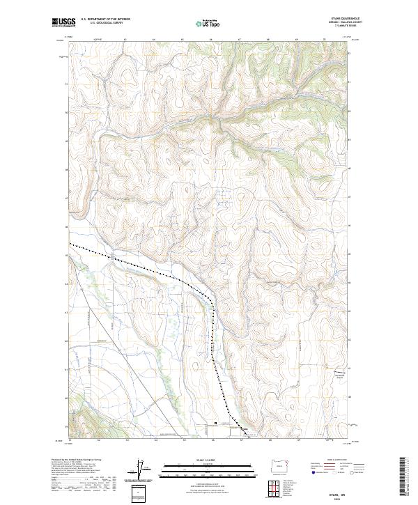
2023 Map of Evans
USGS Topo · Published 2023About this map
The confluence of the Wallowa River and the Lostine River anchor this topographic study of the canyon-cut highlands of Wallowa County. The small settlement of Evans sits at the southern edge, near the Lostine Cem, while the Wallowa Cem is situated further north along the plateau near Leap Rd. This landscape is defined by the complex drainage network of the Whisky Creek system, including Straight Whisky Creek and North Fork Whisky Creek, which carve deep incisions through the high country.
Find a feature on this map
36 named features on this map. Tap any name to fly to it.
Don’t see what you’re looking for? This feature index may not catch every label — zoom into the map to look around manually.
Map Details
Editions of this 2023 Evans Map
This is the sole edition of this map. No revisions or reprints were ever made.
Other maps of this area

1906 · Telocaset
USGS Topo · 1:125,000

1955 · Grangeville
USGS Topo · 1:250,000

1957 · Enterprise
USGS Topo · 1:62,500

1957 · Sled Springs
USGS Topo · 1:62,500

1959 · Grangeville
USGS Topo · 1:250,000

1964 · Akers Butte
USGS Topo · 1:24,000

1964 · Wallowa
USGS Topo · 1:24,000

1965 · Fox Point
USGS Topo · 1:24,000

1982 · Wallowa
USGS Topo · 1:100,000
1984 · Akers Butte
USGS Topo · 1:24,000