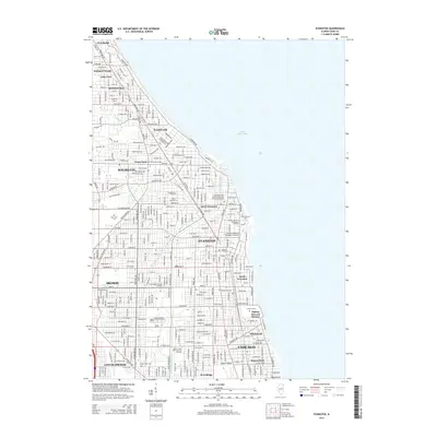
2015 Map of Evanston
USGS Topo · Published 2015About this map
Lake Michigan forms the eastern edge of this 2015 study, framing a densely developed corridor where North Shore suburbs meet the northern reaches of Chicago. The landscape is defined by its educational and religious institutions, most notably the extensive Northwestern Univ campus along the lakefront. Nearby, the Garrett-Evangelical Theological Seminary and Seabury-Western Theological Seminary emphasize the area's history as a center for higher learning. The map detail highlights the engineered water systems of the region, including the North Shore Channel and Skokie Ditch, which influenced the local topography alongside Rogers Ridge. Moving inland from Evanston, the grid of established neighborhoods in Skokie and Wilmette is clearly visible, punctuated by large open spaces such as Calvary Cem and the Oakton Howard District. Transit infrastructure, specifically the Metra rail lines, continues to dictate the orientation of these residential communities.
Find a feature on this map
87 named features on this map. Tap any name to fly to it.
Don’t see what you’re looking for? This feature index may not catch every label — zoom into the map to look around manually.
Map Details
Editions of this 2015 Evanston Map
This is the sole edition of this map. No revisions or reprints were ever made.
Other maps of this area

1889 · Chicago
USGS Topo · 1:62,500

1891 · Chicago
USGS Topo · 1:62,500

1891 · Riverside
USGS Topo · 1:62,500

1893 · Riverside
USGS Topo · 1:62,500

1899 · Evanston
USGS Topo · 1:62,500

1900 · Chicago
USGS Topo · 1:62,500

1900 · Riverside
USGS Topo · 1:62,500

1900 · Highwood
USGS Topo · 1:62,500

1901 · Riverside
USGS Topo · 1:62,500

1901 · Chicago
USGS Topo · 1:62,500