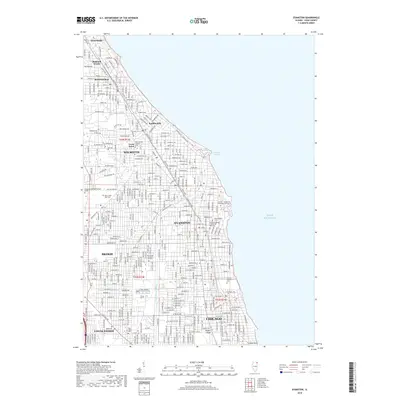
2018 Map of Evanston
USGS Topo · Published 2018About this map
The North Shore shoreline of Lake Michigan serves as the focal point for this survey of some of the most established residential communities in the Chicago metropolitan area. Dense street grids connect a string of villages including Winnetka, Kenilworth, Wilmette, and Evanston, each defined by their relationship to the lake and the historic transit corridors of Green Bay Rd and Sheridan Rd. The map illustrates the specialized land use characteristic of this area, from the campus of Northwestern Univ and Garrett-Evangelical Theological Seminary on the coast to the massive green spaces of Calvary Catholic Cem and Memorial Park Cem.
Find a feature on this map
41 named features on this map. Tap any name to fly to it.
Don’t see what you’re looking for? This feature index may not catch every label — zoom into the map to look around manually.
Map Details
Editions of this 2018 Evanston Map
This is the sole edition of this map. No revisions or reprints were ever made.
Other maps of this area

1889 · Chicago
USGS Topo · 1:62,500

1891 · Chicago
USGS Topo · 1:62,500

1891 · Riverside
USGS Topo · 1:62,500

1893 · Riverside
USGS Topo · 1:62,500

1899 · Evanston
USGS Topo · 1:62,500

1900 · Chicago
USGS Topo · 1:62,500

1900 · Riverside
USGS Topo · 1:62,500

1900 · Highwood
USGS Topo · 1:62,500

1901 · Riverside
USGS Topo · 1:62,500

1901 · Chicago
USGS Topo · 1:62,500