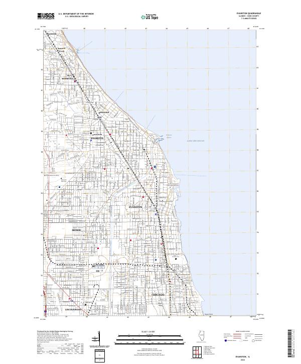
2024 Map of Evanston
USGS Topo · Published 2024About this map
Lake Michigan defines the eastern boundary of this densely developed corridor along the North Shore, where affluent residential suburbs and academic institutions occupy the lakefront. Significant institutional footprints are visible, including the expansive lakefront campus of Northwestern University and the Garrett-Evangelical Theological Seminary in Evanston. The transportation framework is dominated by the Metra rail line and a grid of historic thoroughfares like Sheridan Rd and Green Bay Rd that link these communities. Inland, the North Shore Channel cuts through the landscape near Skokie, while large green spaces are preserved at Memorial Park Cem and Calvary Catholic Cem. From the planned streets of Winnetka and Wilmette to the northern edge of Chicago at Rogers Ridge, the map documents a mature urban landscape where late 19th-century village foundations have evolved into a continuous metropolitan fabric.
Find a feature on this map
132 named features on this map. Tap any name to fly to it.
Don’t see what you’re looking for? This feature index may not catch every label — zoom into the map to look around manually.
Map Details
Editions of this 2024 Evanston Map
This is the sole edition of this map. No revisions or reprints were ever made.
Other maps of this area

1889 · Chicago
USGS Topo · 1:62,500

1891 · Chicago
USGS Topo · 1:62,500

1891 · Riverside
USGS Topo · 1:62,500

1893 · Riverside
USGS Topo · 1:62,500

1899 · Evanston
USGS Topo · 1:62,500

1900 · Chicago
USGS Topo · 1:62,500

1900 · Riverside
USGS Topo · 1:62,500

1900 · Highwood
USGS Topo · 1:62,500

1901 · Riverside
USGS Topo · 1:62,500

1901 · Chicago
USGS Topo · 1:62,500