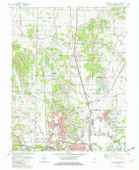
1981 Map of Evansville North
USGS Topo · Published 1982About this map
Evansville expands northward into Vanderburgh Co. during this early 1980s survey, showing the transition from dense urban blocks to suburban developments and active farmland. The landscape is characterized by its numerous religious and memorial sites, including Locust Hill Cemetery and St Joseph Cemetery, which serve as significant genealogical anchors for the region. Transportation networks are well-defined, featuring the Skylane Airport and the heavy rail lines of the Louisville and Nashville and Conrail railroads, which facilitated the movement of goods and people across southern Indiana.
Find a feature on this map
113 named features on this map. Tap any name to fly to it.
Don’t see what you’re looking for? This feature index may not catch every label — zoom into the map to look around manually.
Map Details
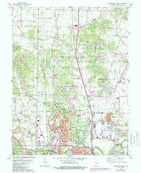
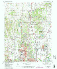
Editions of this 1981 Evansville North Map
3 editions found
Other maps of this area

1901 · Haubstadt
USGS Topo · 1:62,500

1902 · Ditney
USGS Topo · 1:125,000

1902 · Boonville
USGS Topo · 1:62,500

1903 · Haubstadt
USGS Topo · 1:62,500

1903 · Patoka
USGS Topo · 1:125,000

1905 · Newburg
USGS Topo · 1:62,500

1914 · Henderson
USGS Topo · 1:48,000

1916 · Henderson
USGS Topo · 1:62,500

1952 · Evansville
USGS Topo · 1:24,000

1952 · Newburgh
USGS Topo · 1:24,000