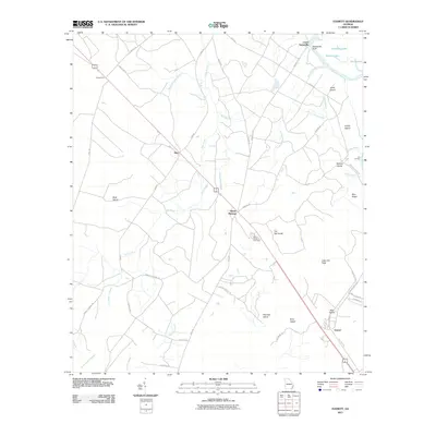
2011 Map of Everett
USGS Topo · Published 2011About this map
Altamaha River bottomlands and the low-lying interior of Wayne County define this coastal plain landscape. Small settlements like Everett, Mount Pleasant, and Akin follow the primary transit corridors, while the northeastern corner is shaped by the river's winding path past Sansavilla Bluff and Lower Sansavilla. The topographic data reveals a complex hydrological network where the Little Buffalo Swamp and Tenmile Swamp drain the southern reaches. Numerous family-named islands and hammocks, such as Red Oak Island, Briar Island, and Tob Hammock, rise slightly above the wetlands, indicating traditional sites of land use and navigation in a region largely dominated by water and timber. Local history is anchored at the Mount Pleasant Cemetery, situated near the road junction in the center of the quadrangle.
Find a feature on this map
52 named features on this map. Tap any name to fly to it.
Don’t see what you’re looking for? This feature index may not catch every label — zoom into the map to look around manually.
Map Details
Editions of this 2011 Everett Map
This is the sole edition of this map. No revisions or reprints were ever made.
Other maps of this area

1918 · Jesup
USGS Topo · 1:62,500

1918 · Hortense
USGS Topo · 1:62,500

1918 · Everett City
USGS Topo · 1:62,500

1920 · Everett City
USGS Topo · 1:62,500

1943 · Ludowici
USGS Topo · 1:62,500

1943 · Jesup
USGS Topo · 1:62,500

1944 · Everett City
USGS Topo · 1:62,500

1944 · Hortense
USGS Topo · 1:62,500

1946 · Brunswick
USGS Topo · 1:250,000

1948 · Brunswick
USGS Topo · 1:250,000