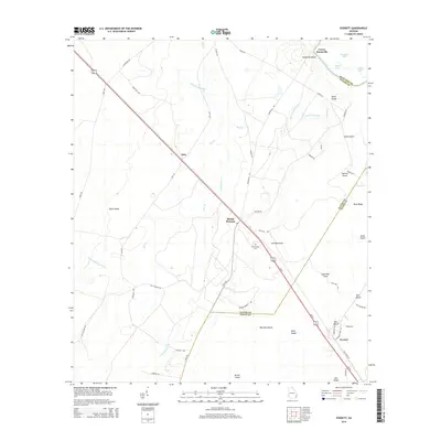
2014 Map of Everett
USGS Topo · Published 2014About this map
Lower Sansavilla and the high ground of Sansavilla Bluff overlook the sweeping curves of the Altamaha River, a landscape defined by the convergence of Wayne, Glynn, and McIntosh counties. The terrain is a complex network of wetlands and named islands, including Buck Island and Bull Island, separated by the slow waters of Little Buffalo Swamp and Tenmile Swamp. A prominent corridor of transport and utility lines cuts diagonally across the coastal plain, connecting the small settlements of Akin, Mount Pleasant, and Everett. Local history is anchored by landmarks such as the Mt Pleasant Cem and the oddly named Tob Hammock, while family-named branches like Mason Cowpen Br and Aleck Island Br trace the drainage patterns toward the river's edge.
Find a feature on this map
59 named features on this map. Tap any name to fly to it.
Don’t see what you’re looking for? This feature index may not catch every label — zoom into the map to look around manually.
Map Details
Editions of this 2014 Everett Map
This is the sole edition of this map. No revisions or reprints were ever made.
Other maps of this area

1918 · Jesup
USGS Topo · 1:62,500

1918 · Hortense
USGS Topo · 1:62,500

1918 · Everett City
USGS Topo · 1:62,500

1920 · Everett City
USGS Topo · 1:62,500

1943 · Ludowici
USGS Topo · 1:62,500

1943 · Jesup
USGS Topo · 1:62,500

1944 · Everett City
USGS Topo · 1:62,500

1944 · Hortense
USGS Topo · 1:62,500

1946 · Brunswick
USGS Topo · 1:250,000

1948 · Brunswick
USGS Topo · 1:250,000