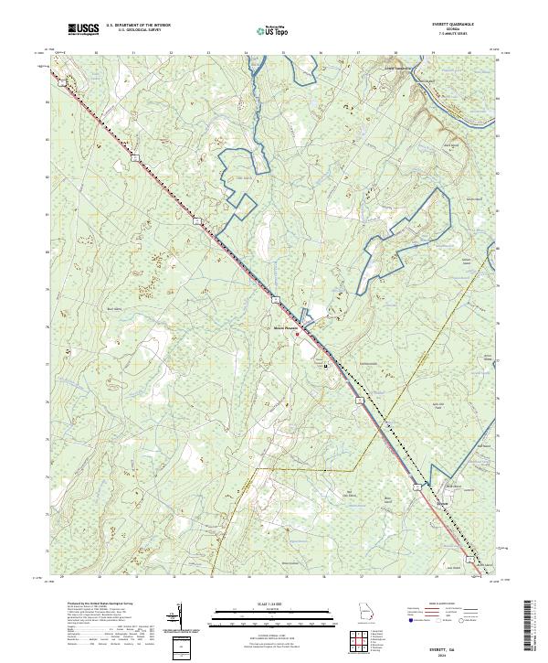
2024 Map of Everett
USGS Topo · Published 2024About this map
Everett serves as a focal point in this portion of Glynn County, where the Golden Isles Pkwy cuts through a landscape defined by its proximity to the Altamaha River. The river forms a natural boundary to the northeast, creating a complex network of wetlands and water bodies such as Barker Lake and Smith Lake. These riparian corridors are punctuated by elevated features like Sansavilla Bluff and several named islands including Bull Island and Aleck Island, which likely offered higher ground for early settlement and agriculture in this coastal plain environment.
Find a feature on this map
82 named features on this map. Tap any name to fly to it.
Don’t see what you’re looking for? This feature index may not catch every label — zoom into the map to look around manually.
Map Details
Editions of this 2024 Everett Map
This is the sole edition of this map. No revisions or reprints were ever made.
Other maps of this area

1918 · Jesup
USGS Topo · 1:62,500

1918 · Hortense
USGS Topo · 1:62,500

1918 · Everett City
USGS Topo · 1:62,500

1920 · Everett City
USGS Topo · 1:62,500

1943 · Ludowici
USGS Topo · 1:62,500

1943 · Jesup
USGS Topo · 1:62,500

1944 · Everett City
USGS Topo · 1:62,500

1944 · Hortense
USGS Topo · 1:62,500

1946 · Brunswick
USGS Topo · 1:250,000

1948 · Brunswick
USGS Topo · 1:250,000