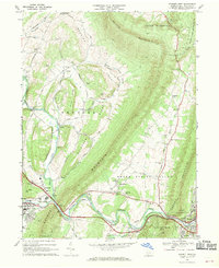
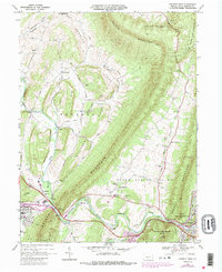
1968 Map of Everett West
USGS Topo · Published 1970About this map
Evitts Mountain and Tussey Mountain frame the agricultural and industrial landscape of this late-1960s Pennsylvania corridor. The Raystown Branch Juniata River cuts through The Narrows, where the Pennsylvania Turnpike and Penn Central railroad navigate the tight geography alongside the community of Bedford. Settlement patterns follow the valley floors, with small hubs like Imlertown and Lutzville serving as focal points for rural life.
Find a feature on this map
65 named features on this map. Tap any name to fly to it.
Don’t see what you’re looking for? This feature index may not catch every label — zoom into the map to look around manually.
Map Details
Editions of this 1968 Everett West Map
5 editions found
Other maps of this area

1900 · Everett
USGS Topo · 1:62,500

1902 · Everett
USGS Topo · 1:62,500

1908 · Bedford
USGS Topo · 1:62,500

1910 · Bedford
USGS Topo · 1:62,500

1927 · Clearville
USGS Topo · 1:48,000

1927 · Hyndman
USGS Topo · 1:62,500

1931 · Clearville
USGS Topo · 1:62,500

1931 · Hyndman
USGS Topo · 1:62,500

1944 · Hyndman
USGS Topo · 1:62,500

1944 · Clearville
USGS Topo · 1:62,500