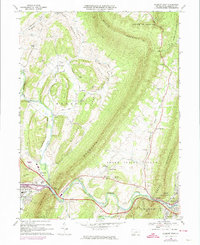
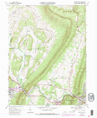
1968 Map of Everett West
USGS Topo · Published 1974About this map
The Narrows forms a natural corridor where the Raystown Branch Juniata River and the Penn Central railroad squeeze between the ridges of Evitts Mountain and Tussey Mountain. This 1960s survey documents the critical transportation artery of southern Pennsylvania, showing the Pennsylvania Turnpike cutting through the valley floor. Rural life is anchored by family-named landmarks and country congregations like Messiah Ch and St James Ch. The map reveals the expansion of Bedford toward the east, including the Memorial Hospital and the nearby settlement of Chalybeate. To the north, the terrain transitions into the high ridges of South Woodbury, where large tracts of State Game Lands No 73 dominate the landscape, preserved for public use amidst the private farmsteads of Dunning Cove.
Find a feature on this map
62 named features on this map. Tap any name to fly to it.
Don’t see what you’re looking for? This feature index may not catch every label — zoom into the map to look around manually.
Map Details
Editions of this 1968 Everett West Map
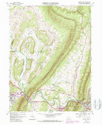
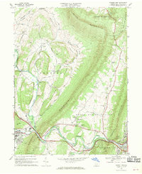
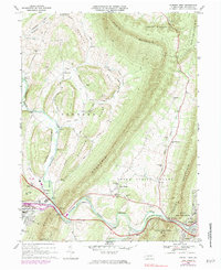
5 editions found
Other maps of this area

1900 · Everett
USGS Topo · 1:62,500

1902 · Everett
USGS Topo · 1:62,500

1908 · Bedford
USGS Topo · 1:62,500

1910 · Bedford
USGS Topo · 1:62,500

1927 · Clearville
USGS Topo · 1:48,000

1927 · Hyndman
USGS Topo · 1:62,500

1931 · Clearville
USGS Topo · 1:62,500

1931 · Hyndman
USGS Topo · 1:62,500

1944 · Hyndman
USGS Topo · 1:62,500

1944 · Clearville
USGS Topo · 1:62,500