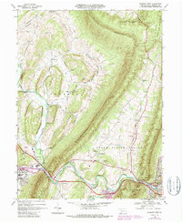
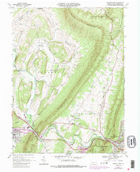
1968 Map of Everett West
USGS Topo · Published 1968About this map
Evitts Mountain and Tussey Mountain dominate the skyline of this central Pennsylvania landscape, framing a series of narrow agricultural valleys and historic crossroads. The Raystown Branch Juniata River snakes through the southern portion of the sheet, carving through The Narrows near the junction of Dunning Creek. This area illustrates the classic ridge-and-valley settlement pattern, where small communities like Chalybeate and Imlertown developed along creek bottoms and spring-fed runs.
Find a feature on this map
58 named features on this map. Tap any name to fly to it.
Don’t see what you’re looking for? This feature index may not catch every label — zoom into the map to look around manually.
Map Details
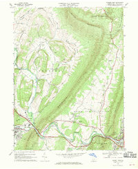
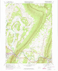
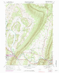
Editions of this 1968 Everett West Map
5 editions found
Other maps of this area

1900 · Everett
USGS Topo · 1:62,500

1902 · Everett
USGS Topo · 1:62,500

1908 · Bedford
USGS Topo · 1:62,500

1910 · Bedford
USGS Topo · 1:62,500

1927 · Clearville
USGS Topo · 1:48,000

1927 · Hyndman
USGS Topo · 1:62,500

1931 · Clearville
USGS Topo · 1:62,500

1931 · Hyndman
USGS Topo · 1:62,500

1944 · Hyndman
USGS Topo · 1:62,500

1944 · Clearville
USGS Topo · 1:62,500