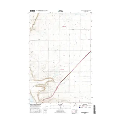
2017 Map of Evergreen Ridge
USGS Topo · Published 2017About this map
Evergreen Ridge and the Frenchman Hills dominate this high-desert landscape in central Washington, where the land drops away sharply toward the Columbia River. The small community of George sits on the eastern edge of the quadrangle, serving as a landmark in an area defined by agricultural grids and topographic benches. To the west, the dramatic descent of Babcock Bench overlooks the waters of Wanapum Lake, a significant geographical transition in Grant County.
Find a feature on this map
39 named features on this map. Tap any name to fly to it.
Don’t see what you’re looking for? This feature index may not catch every label — zoom into the map to look around manually.
Map Details
Editions of this 2017 Evergreen Ridge Map
This is the sole edition of this map. No revisions or reprints were ever made.
Other maps of this area

1909 · Quincy
USGS Topo · 1:62,500

1910 · Quincy
USGS Topo · 1:62,500

1912 · Beverly
USGS Topo · 1:62,500

1920 · Colockum Pass
USGS Topo · 1:125,000

1922 · Colockum Pass
USGS Topo · 1:125,000

1939 · Boylston
USGS Topo · 1:48,000

1943 · Boylston
USGS Topo · 1:62,500

1950 · Yakima
USGS Topo · 1:250,000

1953 · Ginkgo
USGS Topo · 1:24,000
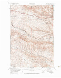
1953 · Boylston
USGS Topo · 1:62,500