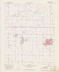
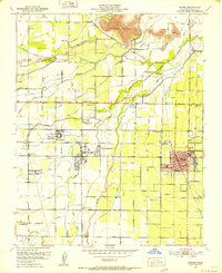
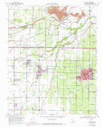
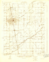
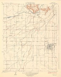
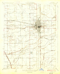
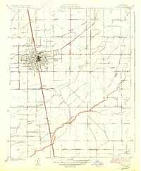
1950 Map of Exeter
USGS Topo · Published 1971About this map
The town of Exeter serves as a hub for this Tulare County landscape, where the Sierra Nevada foothills meet the San Joaquin Valley. This mid-century survey reveals an intricate irrigation network essential to the region's agricultural identity, featuring the Wutchumna Ditch, Mathews Ditch, and Peoples Ditch drawing from the Kaweah River. The infrastructure of the era is well-defined by the paths of the Southern Pacific and Visalia Electric railroads, which facilitated the movement of goods from local colonies and centers like the Tulare County Farm Labor Supply Center. Notable community landmarks include the Sequoia State Fish Hatchery and several educational sites such as Locust Grove Sch and Exeter Union HS. The presence of the Deep Creek Cem and smaller settlements like Cameron Creek Colony and Venice Cove provides specific points of interest for those researching local family history and the development of valley townships.
Find a feature on this map
61 named features on this map. Tap any name to fly to it.
Don’t see what you’re looking for? This feature index may not catch every label — zoom into the map to look around manually.
Map Details
Editions of this 1950 Exeter Map
3 editions found
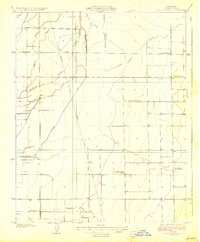
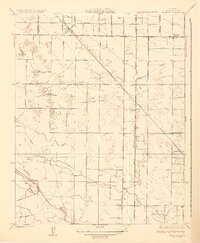
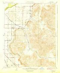
Other maps of this area

1925 · Rocky Hill
USGS Topo · 1:31,680
1925 · Tulare
USGS Topo · 1:31,680

1926 · Ivanhoe
USGS Topo · 1:31,680
1926 · Exeter
USGS Topo · 1:31,680
1927 · Cairns Corner
USGS Topo · 1:31,680
1927 · Monson
USGS Topo · 1:31,680
1927 · Rocky Hill
USGS Topo · 1:31,680
1927 · Visalia
USGS Topo · 1:31,680
1927 · Tulare
USGS Topo · 1:31,680
1928 · Lemon Cove
USGS Topo · 1:31,680