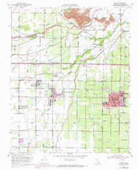
1950 Map of Exeter
USGS Topo · Published 1971About this map
Farmersville and Exeter anchor this detailed landscape in Tulare County, where the agricultural productivity of the San Joaquin Valley is visible through an intricate network of irrigation features. The northern reaches are dominated by the Venice Hills, while the Kaweah River and St Johns River provide the primary water source for numerous canals such as the Wutchumna Ditch and Fleming Ditch. The presence of the Tulare County Farm Labor Supply Center near Linnell PO speaks to the region's mid-century reliance on organized agricultural labor.
Find a feature on this map
69 named features on this map. Tap any name to fly to it.
Don’t see what you’re looking for? This feature index may not catch every label — zoom into the map to look around manually.
Map Details
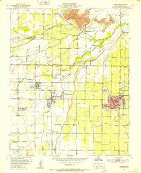
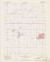
Editions of this 1950 Exeter Map
3 editions found
Other maps of this area

1925 · Rocky Hill
USGS Topo · 1:31,680

1925 · Tulare
USGS Topo · 1:31,680

1926 · Ivanhoe
USGS Topo · 1:31,680

1926 · Exeter
USGS Topo · 1:31,680

1927 · Cairns Corner
USGS Topo · 1:31,680

1927 · Monson
USGS Topo · 1:31,680

1927 · Rocky Hill
USGS Topo · 1:31,680

1927 · Visalia
USGS Topo · 1:31,680

1927 · Tulare
USGS Topo · 1:31,680

1928 · Lemon Cove
USGS Topo · 1:31,680