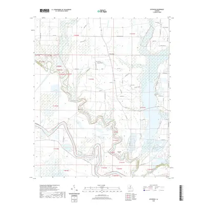
2020 Map of Extension
USGS Topo · Published 2020About this map
The Ouachita River and Boeuf River dominate this complex floodplain landscape along the border of Franklin and Catahoula parishes. The settlement of Extension serves as a central point in an area defined by its intricate network of bayous, including Grayson Bayou, Shop Bayou, and Brushley Bayou. This map reveals how the local economy and movement were shaped by the water, with numerous oxbow lakes such as Turkey Creek Lake, Dailey Lake, and Cypress Lake scattered across the bottomlands.
Find a feature on this map
79 named features on this map. Tap any name to fly to it.
Don’t see what you’re looking for? This feature index may not catch every label — zoom into the map to look around manually.
Map Details
Editions of this 2020 Extension Map
This is the sole edition of this map. No revisions or reprints were ever made.
Other maps of this area

1935 · Winnsboro
USGS Topo · 1:62,500

1939 · Fort Necessity
USGS Topo · 1:62,500

1941 · Sicily Island
USGS Topo · 1:62,500

1941 · Harrisonburg
USGS Topo · 1:62,500

1953 · Natchez
USGS Topo · 1:250,000

1955 · Jackson
USGS Topo · 1:250,000

1956 · Natchez
USGS Topo · 1:250,000

1957 · Sicily Island
USGS Topo · 1:62,500

1958 · Winnsboro
USGS Topo · 1:62,500

1958 · Fort Necessity
USGS Topo · 1:62,500