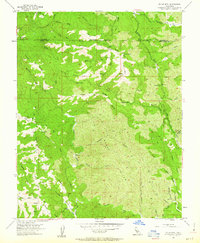
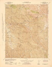
1955 Map of Eylar Mountain
USGS Topo · Published 1963About this map
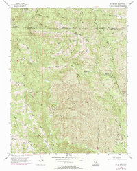
Eylar Mtn dominates this mid-1950s survey of the Diablo Range, where the boundary between Alameda and Santa Clara counties cuts through a landscape defined by deep canyons and seasonal camps. This area served as a remote outpost for surveyors and miners, evidenced by scattered Mines and a Prospect near Mill Gulch. Small, named encampments like Hays Camp, Mowry Camp, and Camp Bessie suggest a history of seasonal occupation or labor in these highlands. The complex drainage network is anchored by Arroyo Mocho, Arroyo Valle, and Arroyo San Antonio, which have carved out distinct features like The Narrows and Sulphur Gulch. A network of Jeep Trails provides the primary access through the Burnt Hills and over high points such as Beartrap Ridge and Pino Ridge, reflecting the area's limited development and its focus on resource extraction and livestock grazing.
Find a feature on this map
49 named features on this map. Tap any name to fly to it.
Don’t see what you’re looking for? This feature index may not catch every label — zoom into the map to look around manually.
Map Details
Editions of this 1955 Eylar Mountain Map
6 editions found
Other maps of this area

1897 · Mt. Hamilton
USGS Topo · 1:62,500

1907 · Tesla
USGS Topo · 1:62,500

1922 · Carbona
USGS Topo · 1:62,500

1938 · Mt. Boardman
USGS Topo · 1:62,500

1942 · Mt. Hamilton
USGS Topo · 1:62,500
1942 · Carbona
USGS Topo · 1:62,500

1942 · Mt. Boardman
USGS Topo · 1:62,500

1942 · Altamont
USGS Topo · 1:62,500
1943 · Tesla
USGS Topo · 1:62,500
1943 · Mt. Boardman
USGS Topo · 1:62,500