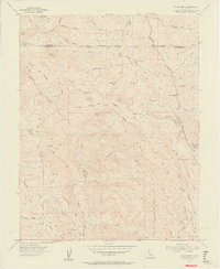
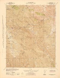
1955 Map of Eylar Mtn
USGS Topo · Published 1957About this map
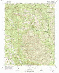
The Alameda Co and Santa Clara Co border bisects this rugged 1955 survey of the Diablo Range, where a network of trails and canyon drainages defines the remote landscape. Notable outposts like Hays Camp, Mowry Camp, and Colorado Camp are scattered across high ridges and flats, connected by primitive paths like Mines Road and numerous unnamed jeep trails. The complex topography features prominent landmarks such as VABM 4089 Mocho and the high Mesa Ridge, alongside narrow passages like The Narrows in the Arroyo Valle canyon. This era of mapping shows the land before significant development, preserving the locations of isolated settlements such as Graves and Camp Bessie within the folds of the Burnt Hills. The abundance of seasonal springs, including Banta Spring and McClinchey Spring, highlights the critical water sources that dictated human activity in these steep gulches and valleys.
Find a feature on this map
50 named features on this map. Tap any name to fly to it.
Don’t see what you’re looking for? This feature index may not catch every label — zoom into the map to look around manually.
Map Details
Editions of this 1955 Eylar Mtn Map
6 editions found
Other maps of this area

1897 · Mt. Hamilton
USGS Topo · 1:62,500

1907 · Tesla
USGS Topo · 1:62,500

1922 · Carbona
USGS Topo · 1:62,500

1938 · Mt. Boardman
USGS Topo · 1:62,500

1942 · Mt. Hamilton
USGS Topo · 1:62,500
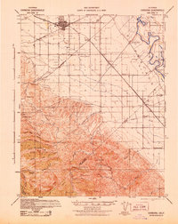
1942 · Carbona
USGS Topo · 1:62,500

1942 · Mt. Boardman
USGS Topo · 1:62,500

1942 · Altamont
USGS Topo · 1:62,500
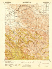
1943 · Tesla
USGS Topo · 1:62,500
1943 · Mt. Boardman
USGS Topo · 1:62,500