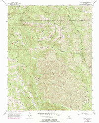
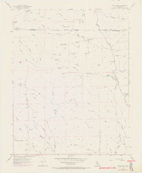
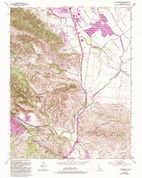
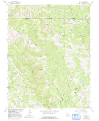
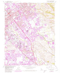
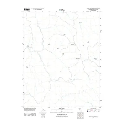
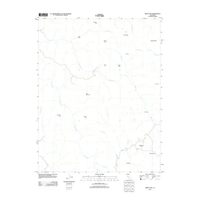
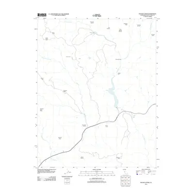
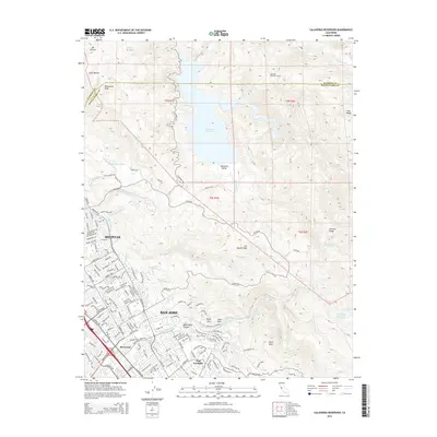
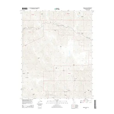
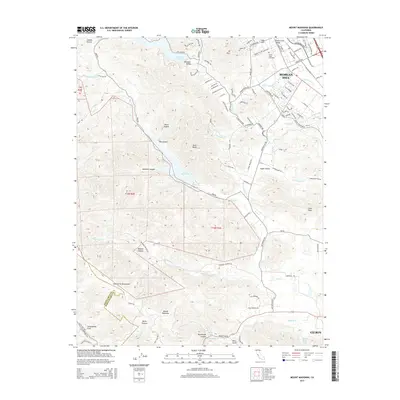
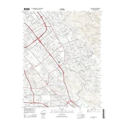
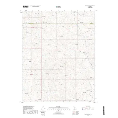
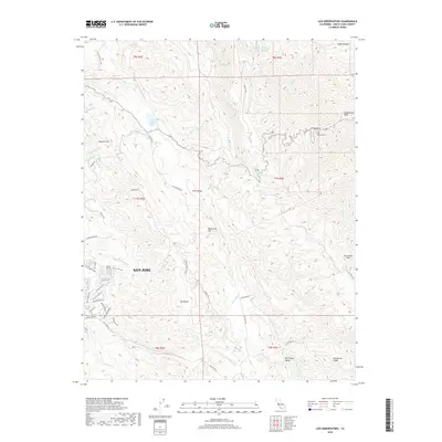
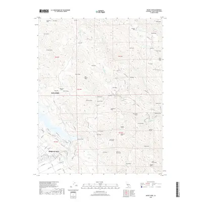
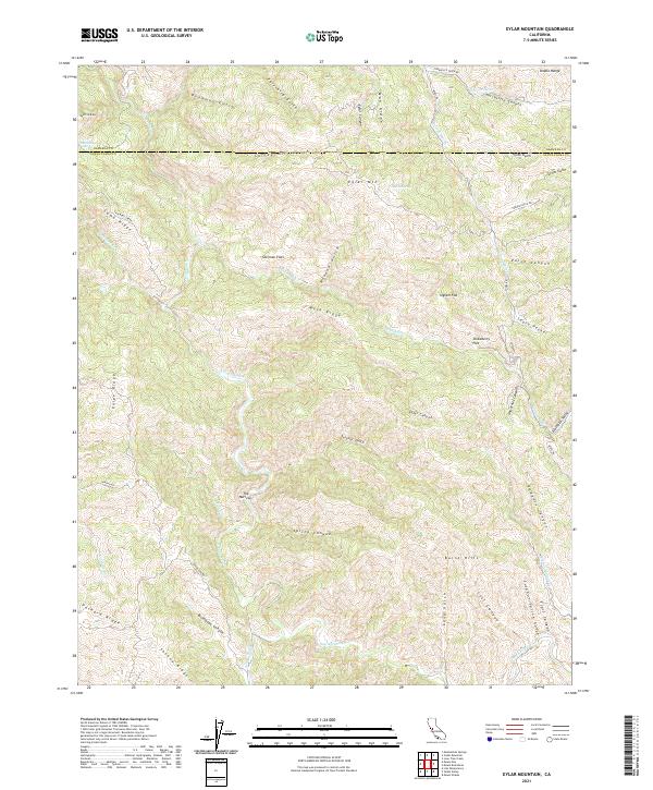
1955 Map of Eylar Mtn
USGS Topo · Published 1972About this map
Eylar Mountain dominates the high ground of the Diablo Range along the border of Alameda and Santa Clara counties in the mid-1950s. The landscape is defined by a dense network of canyons and ridges, where seasonal drainages like Arroyo Valle and Arroyo Mocho carve through the Burnt Hills. Small outposts and seasonal sites such as Hays Camp, Mowry Camp, and Camp Bessie suggest a history of ranching or early recreational use in this isolated terrain.
Find a feature on this map
46 named features on this map. Tap any name to fly to it.
Don’t see what you’re looking for? This feature index may not catch every label — zoom into the map to look around manually.
Map Details
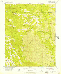
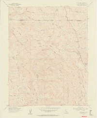
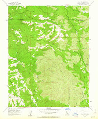
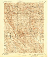
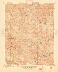
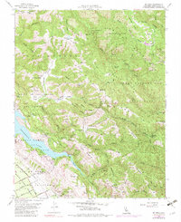
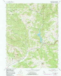
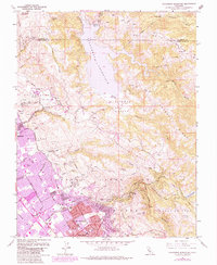
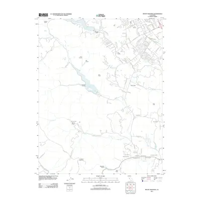
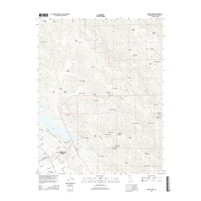
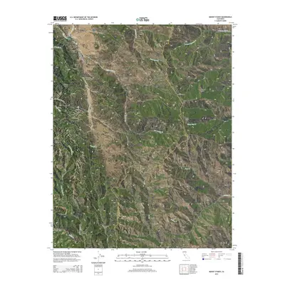
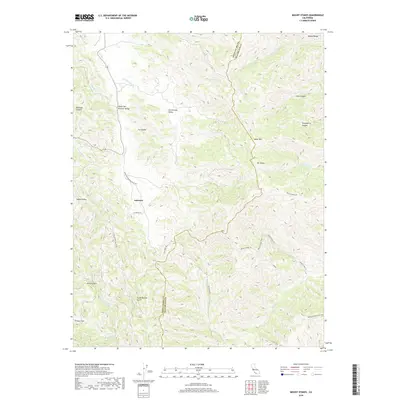
Editions of this 1955 Eylar Mtn Map
6 editions found
Historical Maps of Santa Clara County Through Time
91 maps found
1897 Mt. Hamilton
Santa Clara County, CA

1916 New Almaden
Santa Clara County, CA
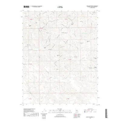
1921 Gilroy Hot Springs
Santa Clara County, CA

1939 Gilroy Hot Springs
Santa Clara County, CA

1940 Gilroy Hot Springs
Santa Clara County, CA

1942 Mt. Hamilton
Santa Clara County, CA

1943 Mt. Hamilton
Santa Clara County, CA

1947 Mt. Hamilton
Santa Clara County, CA
1953 Calaveras Reservoir
Santa Clara County, CA

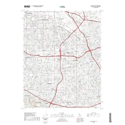
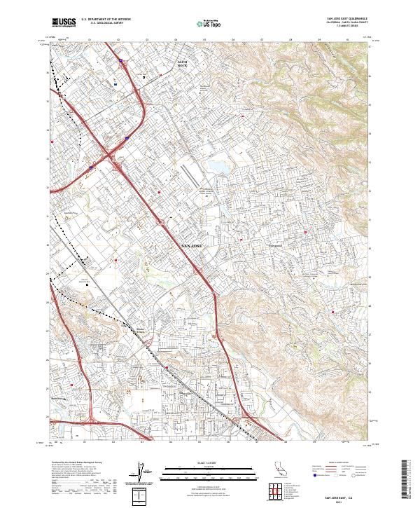
1953 San Jose East
Santa Clara County, CA

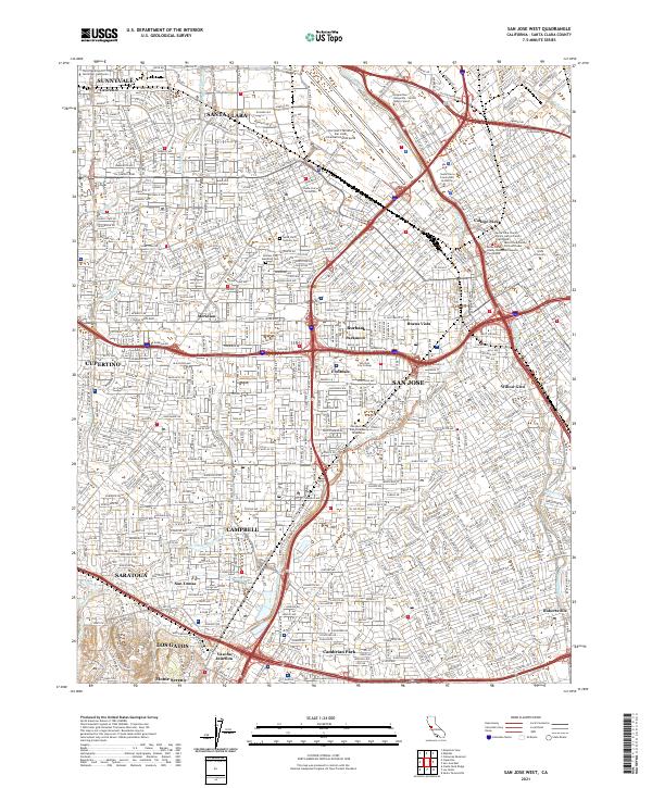
1953 San Jose West
Santa Clara County, CA

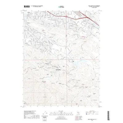
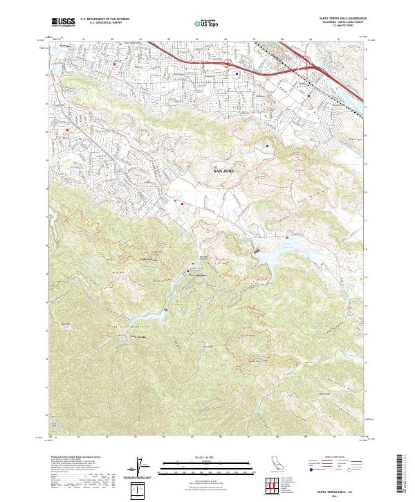
1953 Santa Teresa Hills
Santa Clara County, CA
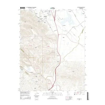
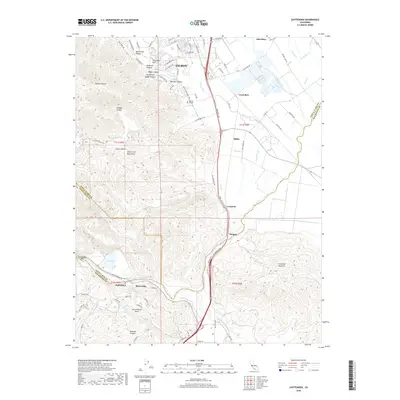
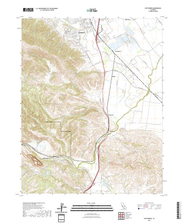
1955 Chittenden
Santa Clara County, CA

1955 Eylar Mountain
Santa Clara County, CA
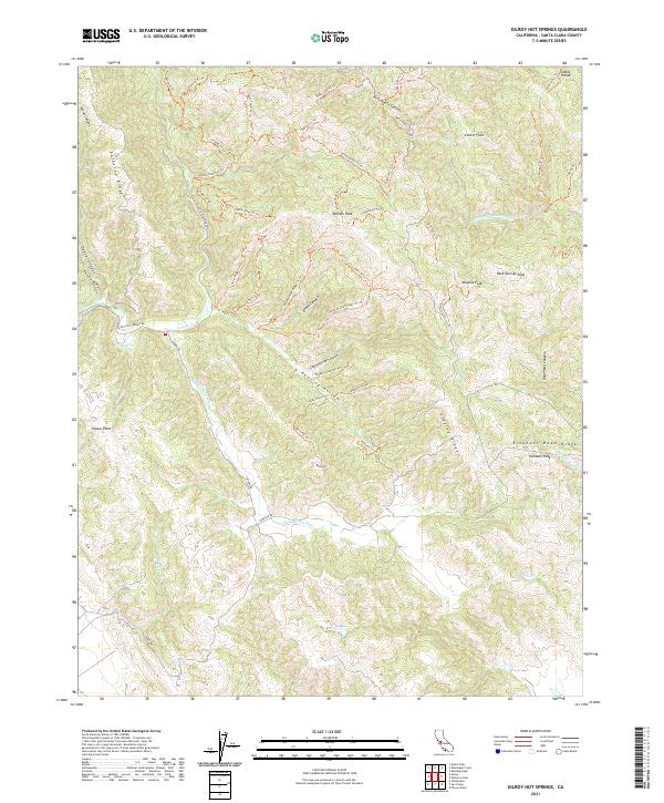
1955 Gilroy Hot Springs
Santa Clara County, CA

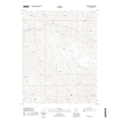
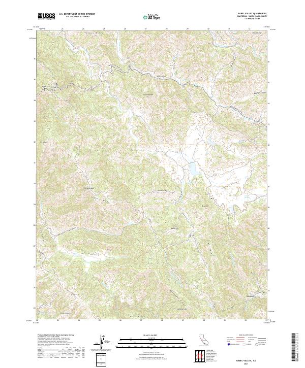
1955 Isabel Valley
Santa Clara County, CA
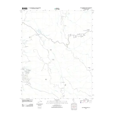
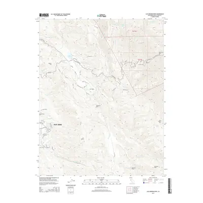
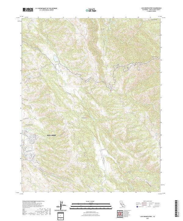
1955 Lick Observatory
Santa Clara County, CA
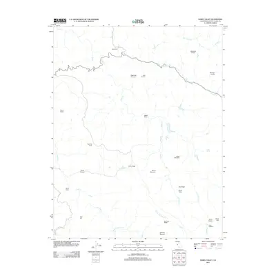
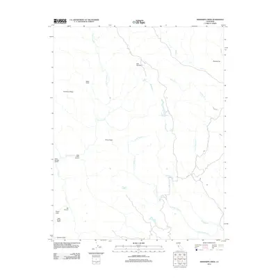
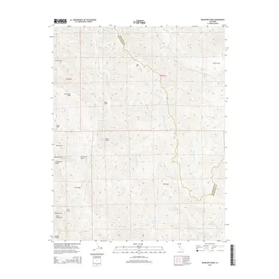
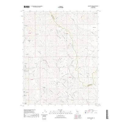
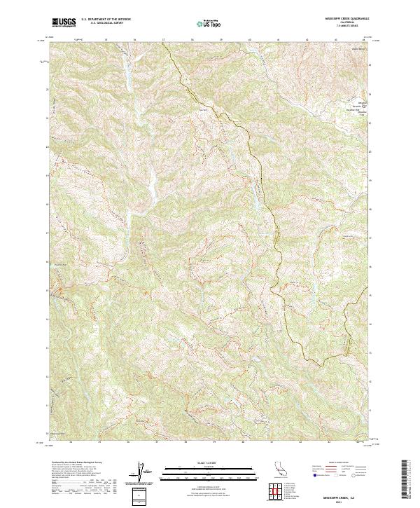
1955 Mississippi Creek
Santa Clara County, CA
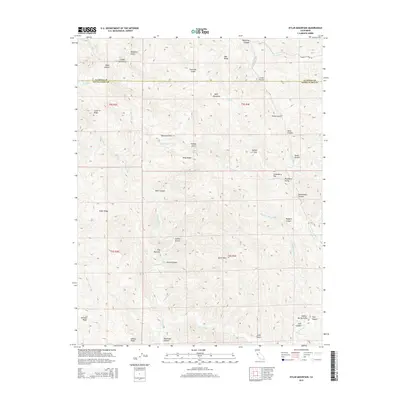
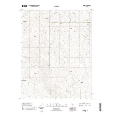
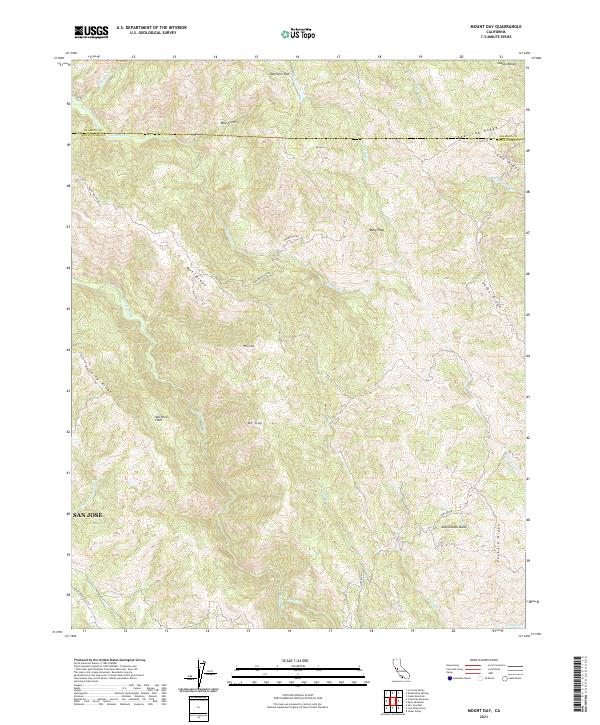
1955 Mt. Day
Santa Clara County, CA

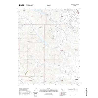
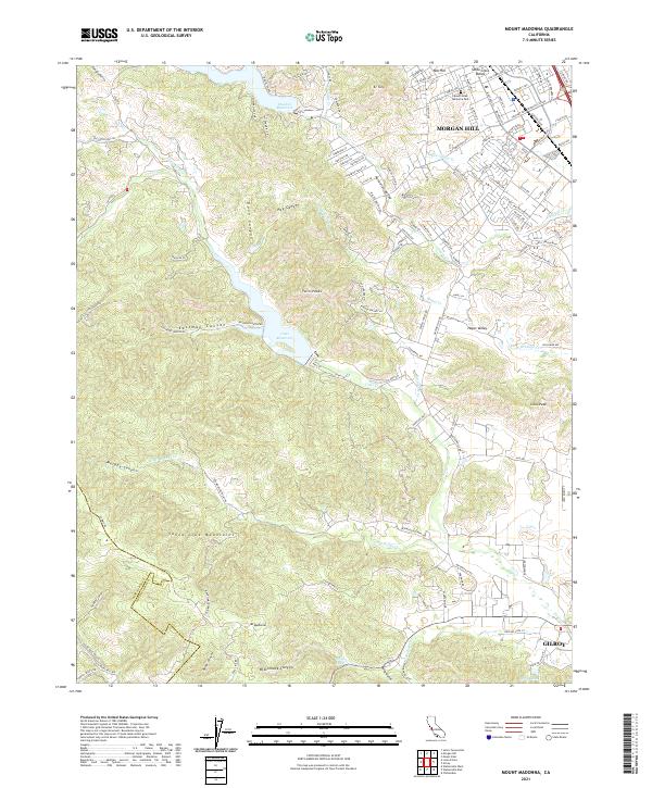
1955 Mt. Madonna
Santa Clara County, CA
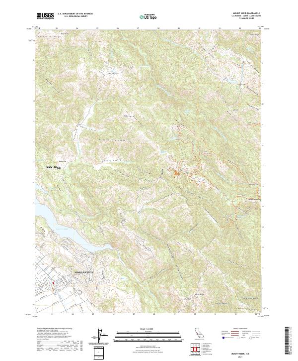
1955 Mt. Sizer
Santa Clara County, CA

1955 Mt. Stakes
Santa Clara County, CA
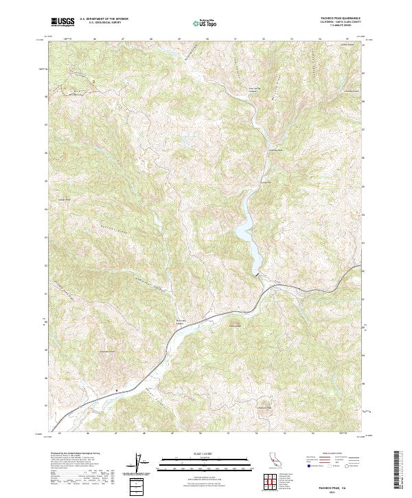
1955 Pacheco Peak
Santa Clara County, CA
1961 Calaveras Reservoir
Santa Clara County, CA
1961 San Jose East
Santa Clara County, CA

1961 San Jose West
Santa Clara County, CA

1963 Mt. Hamilton
Santa Clara County, CA

1967 Mt. Hamilton
Santa Clara County, CA

1996 Mississippi Creek
Santa Clara County, CA

1996 Mount Day
Santa Clara County, CA

1996 Mount Madonna
Santa Clara County, CA
2012 Calaveras Reservoir
Santa Clara County, CA
2012 Chittenden
Santa Clara County, CA
2012 Eylar Mountain
Santa Clara County, CA
2012 Gilroy Hot Springs
Santa Clara County, CA
2012 Isabel Valley
Santa Clara County, CA
2012 Lick Observatory
Santa Clara County, CA
2012 Mississippi Creek
Santa Clara County, CA
2012 Mount Day
Santa Clara County, CA
2012 Mount Madonna
Santa Clara County, CA
2012 Mount Sizer
Santa Clara County, CA
2012 Mount Stakes
Santa Clara County, CA
2012 Pacheco Peak
Santa Clara County, CA
2012 San Jose East
Santa Clara County, CA
2012 San Jose West
Santa Clara County, CA
2012 Santa Teresa Hills
Santa Clara County, CA
2015 Calaveras Reservoir
Santa Clara County, CA
2015 Chittenden
Santa Clara County, CA
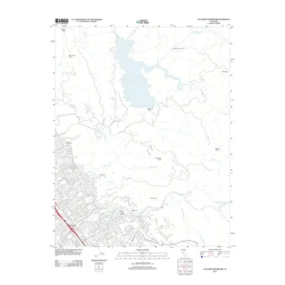
2015 Eylar Mountain
Santa Clara County, CA
2015 Gilroy Hot Springs
Santa Clara County, CA
2015 Isabel Valley
Santa Clara County, CA
2015 Lick Observatory
Santa Clara County, CA
2015 Mississippi Creek
Santa Clara County, CA
2015 Mount Day
Santa Clara County, CA
2015 Mount Madonna
Santa Clara County, CA
2015 Mount Sizer
Santa Clara County, CA
2015 Mount Stakes
Santa Clara County, CA
2015 Pacheco Peak
Santa Clara County, CA
2015 San Jose East
Santa Clara County, CA
2015 San Jose West
Santa Clara County, CA
2015 Santa Teresa Hills
Santa Clara County, CA
2018 Calaveras Reservoir
Santa Clara County, CA
2018 Chittenden
Santa Clara County, CA
2018 Eylar Mountain
Santa Clara County, CA
2018 Gilroy Hot Springs
Santa Clara County, CA
2018 Isabel Valley
Santa Clara County, CA
2018 Lick Observatory
Santa Clara County, CA
2018 Mississippi Creek
Santa Clara County, CA
2018 Mount Day
Santa Clara County, CA
2018 Mount Madonna
Santa Clara County, CA
2018 Mount Sizer
Santa Clara County, CA
2018 Mount Stakes
Santa Clara County, CA
2018 Pacheco Peak
Santa Clara County, CA
2018 San Jose East
Santa Clara County, CA
2018 San Jose West
Santa Clara County, CA
2018 Santa Teresa Hills
Santa Clara County, CA

2021 Calaveras Reservoir
Santa Clara County, CA
2021 Chittenden
Santa Clara County, CA
2021 Eylar Mountain
Santa Clara County, CA
2021 Gilroy Hot Springs
Santa Clara County, CA
2021 Isabel Valley
Santa Clara County, CA
2021 Lick Observatory
Santa Clara County, CA
2021 Mississippi Creek
Santa Clara County, CA
2021 Mount Day
Santa Clara County, CA
2021 Mount Madonna
Santa Clara County, CA
2021 Mount Sizer
Santa Clara County, CA

2021 Mount Stakes
Santa Clara County, CA
2021 Pacheco Peak
Santa Clara County, CA
2021 San Jose East
Santa Clara County, CA
2021 San Jose West
Santa Clara County, CA
2021 Santa Teresa Hills
Santa Clara County, CA